Well, it was another early start we expected it to be a long day (381 km), we had grabbed some baguettes from the Indian the previous night so breakfast on the hotel steps, so objective Numero Uno was Lima Site 85.
Leaving Vieng Xai at daybreak it was nice and cool.
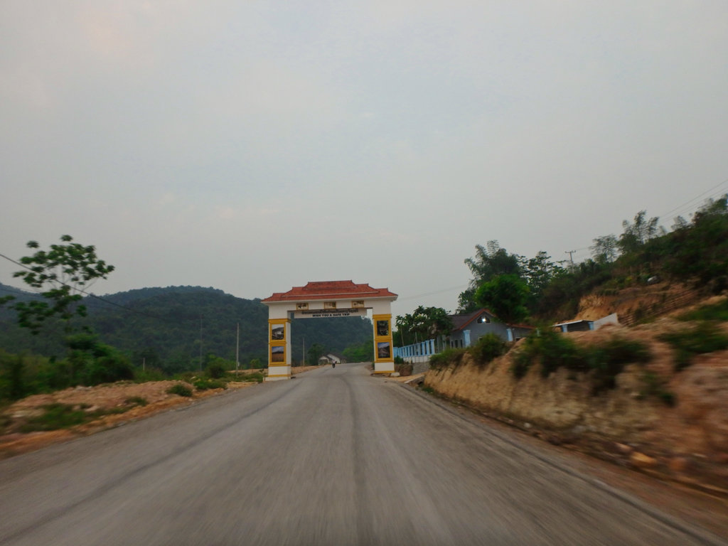
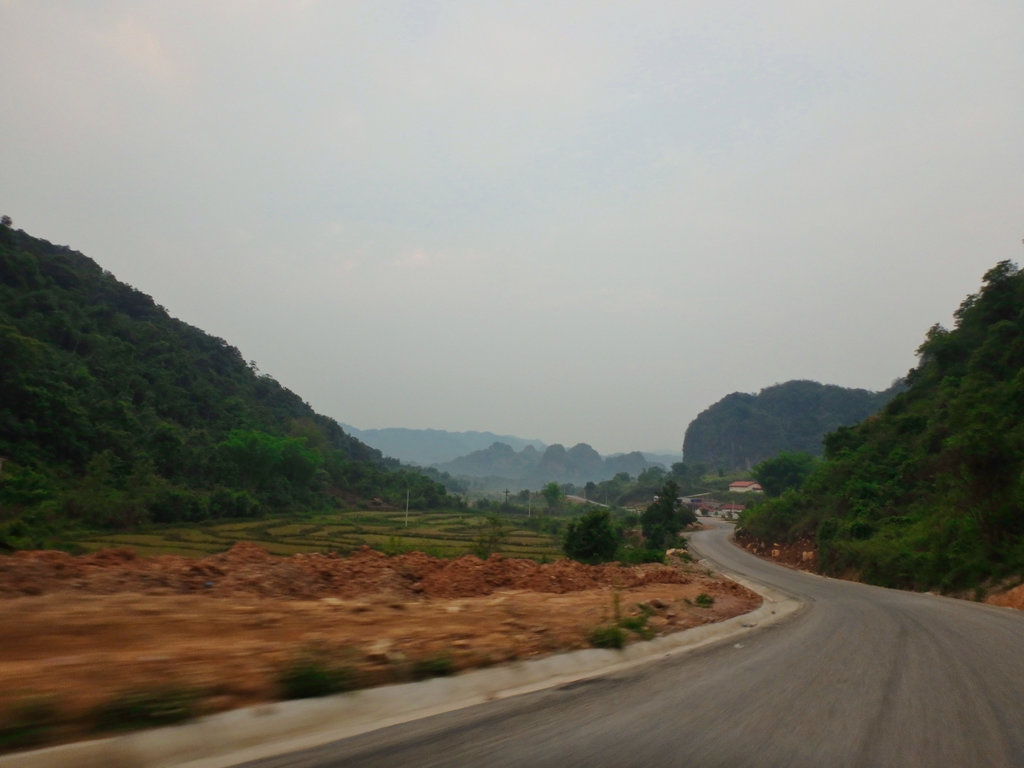
Our route.
Passed this area a few years ago as some UXO guy's cleared the side of the road for the new bridge construction.
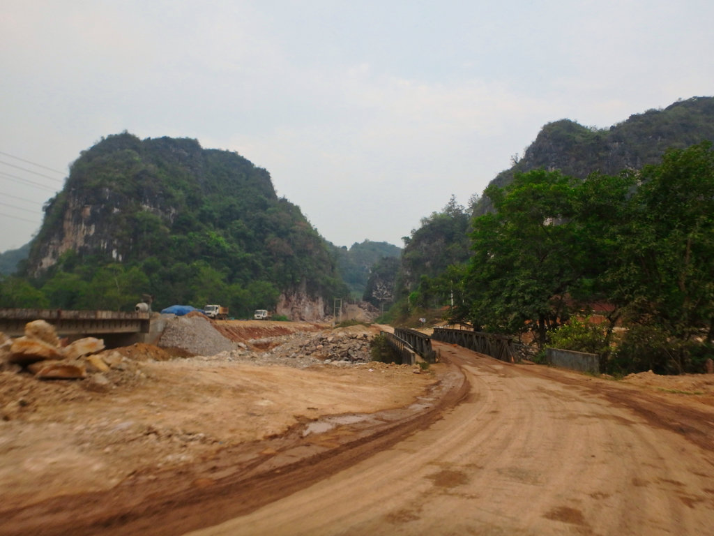
The old Bailey bridge on its last legs.
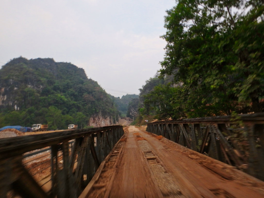
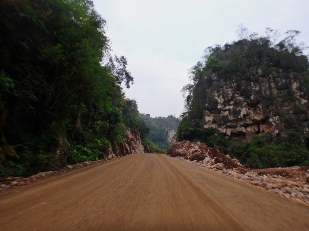
New road section through the Karst.
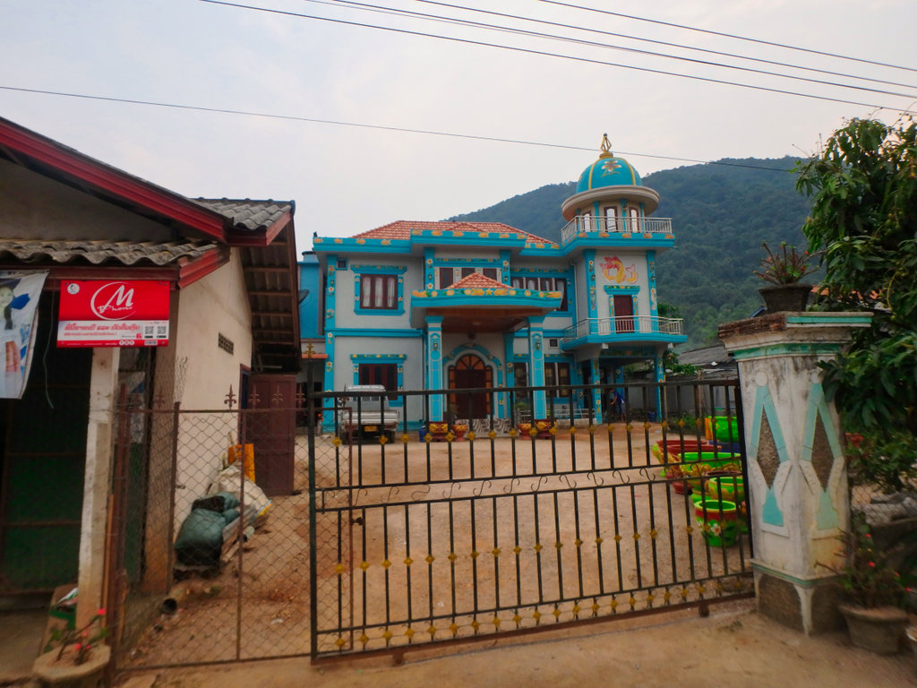
The decorator clearly had a sense of humour with this house.
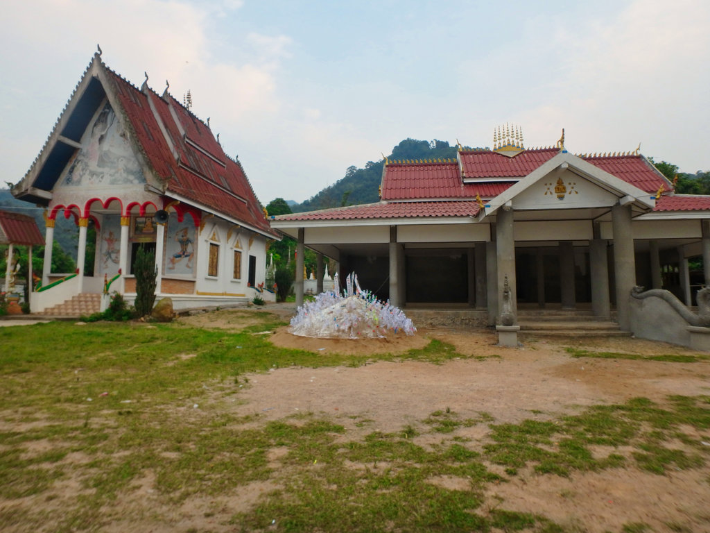
The old Wat having some improvements, not sure of the significance of the flags on the sand hill.
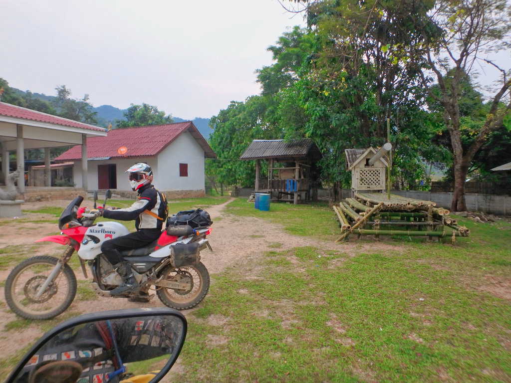
Reaching SN in quick time.
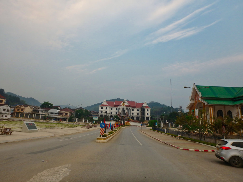
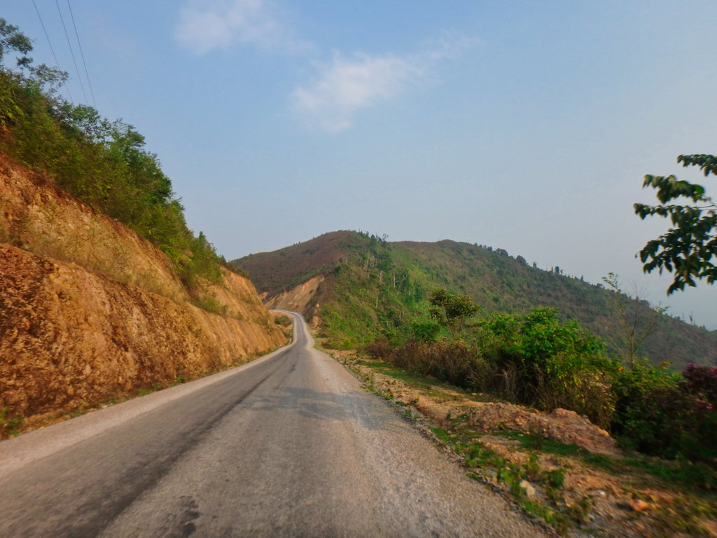
The 3203 is now paved although the gravel chipping dressing was not the most enjoyable surface.
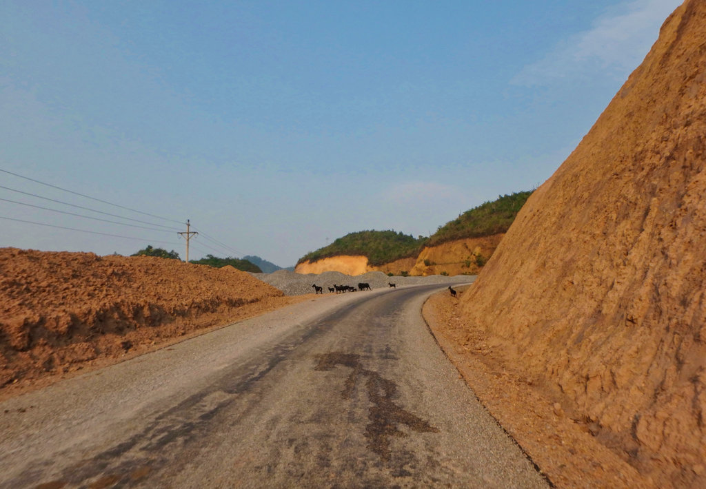
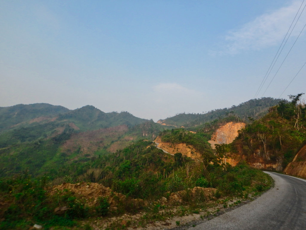
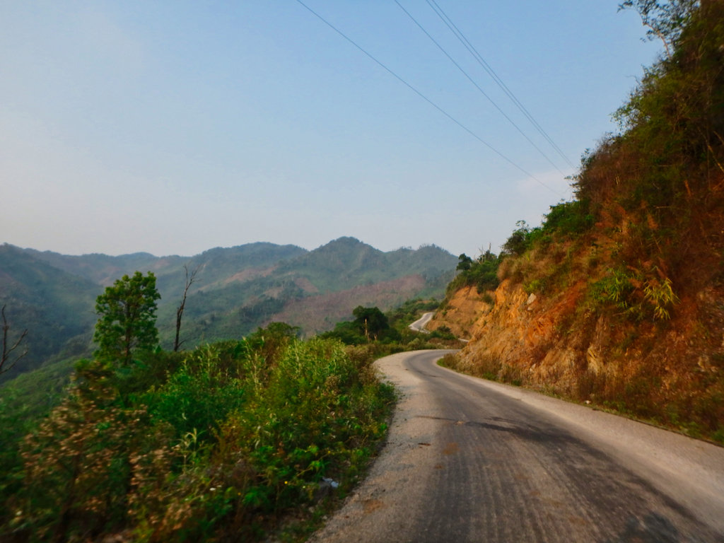
The road construction is pretty poor quality, hard to see it survive a wet season up here.
The new bridge going in at Sathon, no more wet feet.
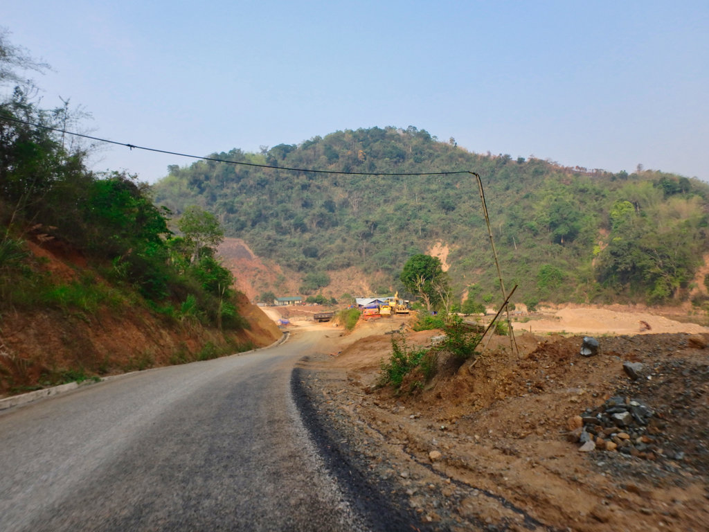
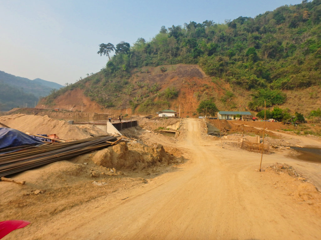
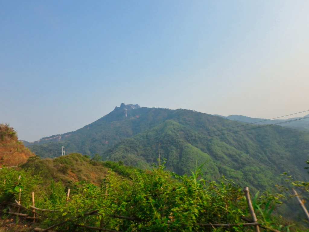
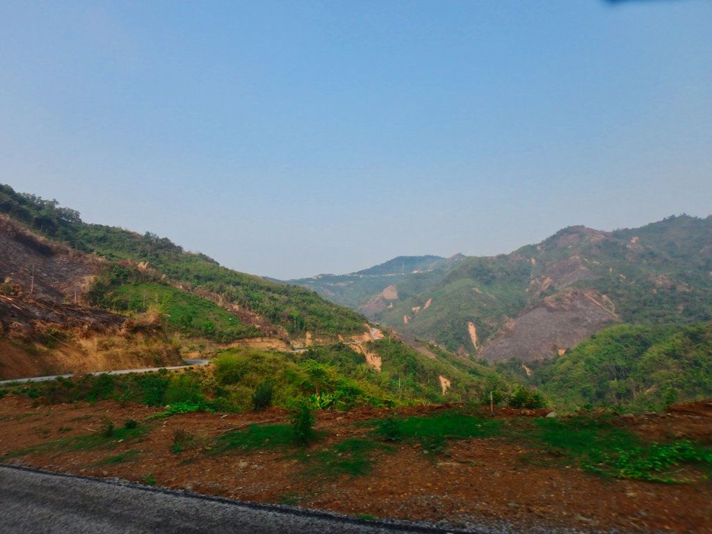
The pavement continues till you reach the village of Ban Houayma at N20.40119° E103.69672° for the turn to Phu Pha Tai.
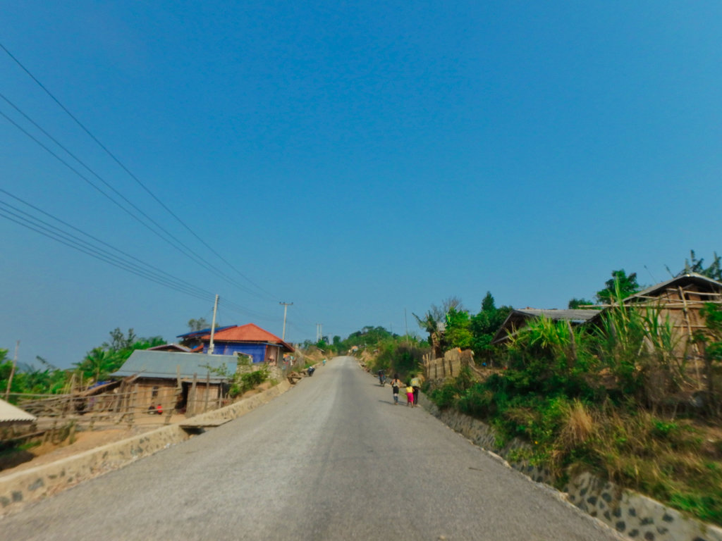
Tinglish at its best.
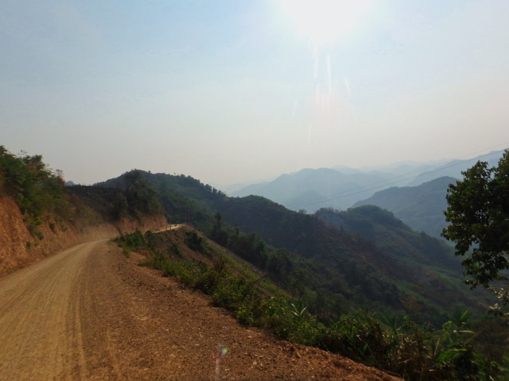
The road down to the base of the mountain is well graded and posed no problem.
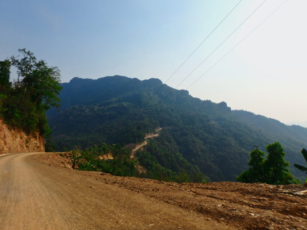
We reached the small army outpost at the foot of the enormous new staircase, we de-kitted what we didn't need for the climb and motioned towards the stairs, we quickly got the attention of the army guy's and motioned we needed to come to see them> we had already had reports of people who had been turned away for not having a ticket and hoped a big smile would pull us through.
After some chit chat and a drink, an armed guide was assigned to us, we paid our fee and good to go.
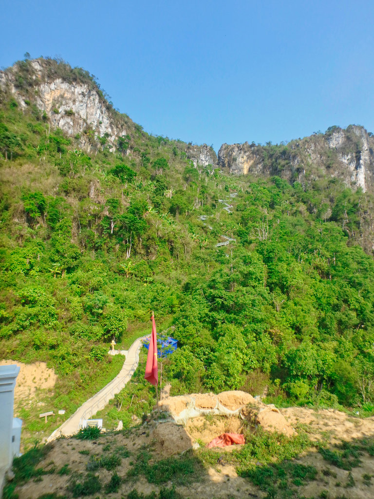
I should point out it was around 9am and was already getting hot, according to the guide there are 1375 steps to the summit, my old knee's felt every bloody one of them !!!
Below the army camp or ticket office really.
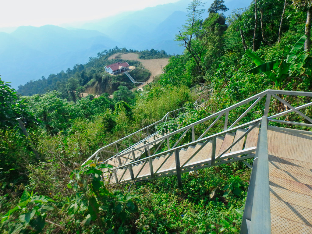
The stair is galvanised so should last for several years, it must have been a huge undertaking to install such a structure.
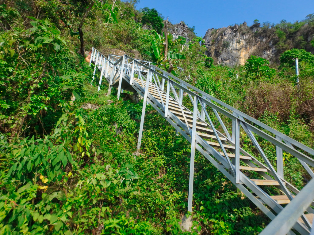
Elevation from the foot of the stairs to the top is around 1km, all uphill!!
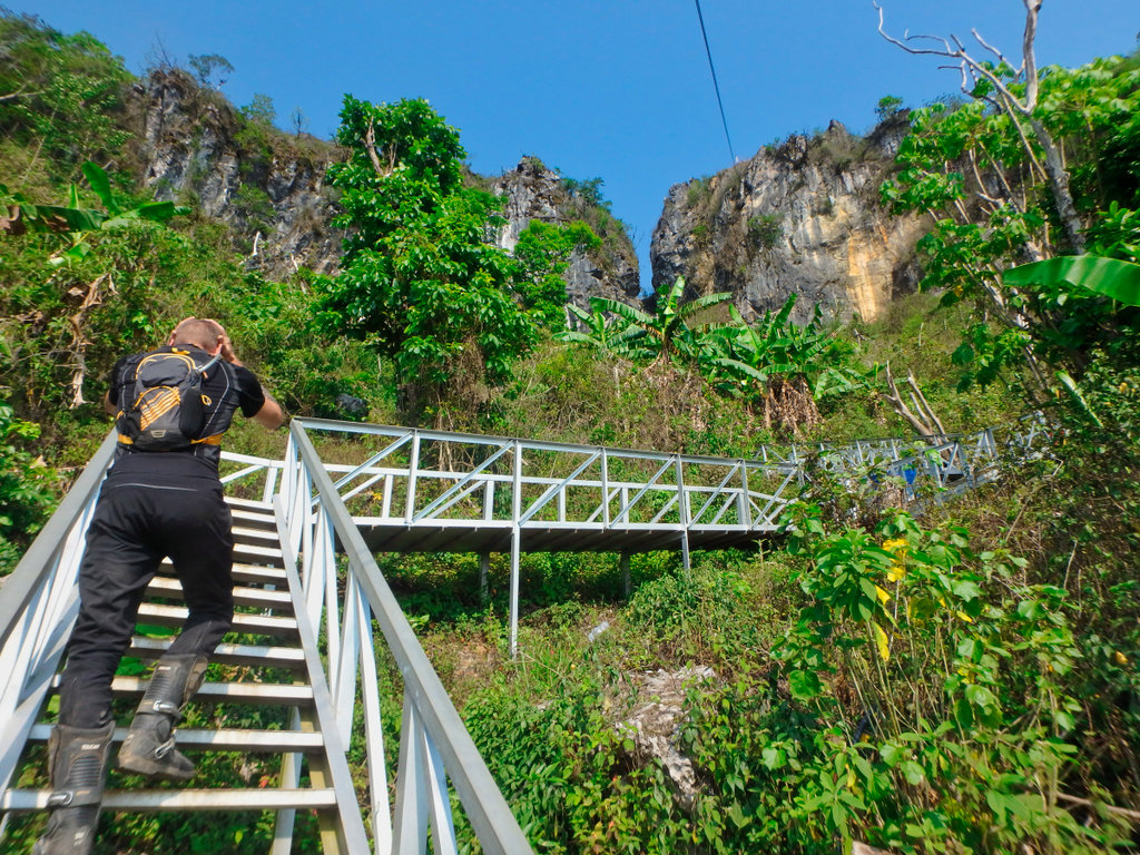
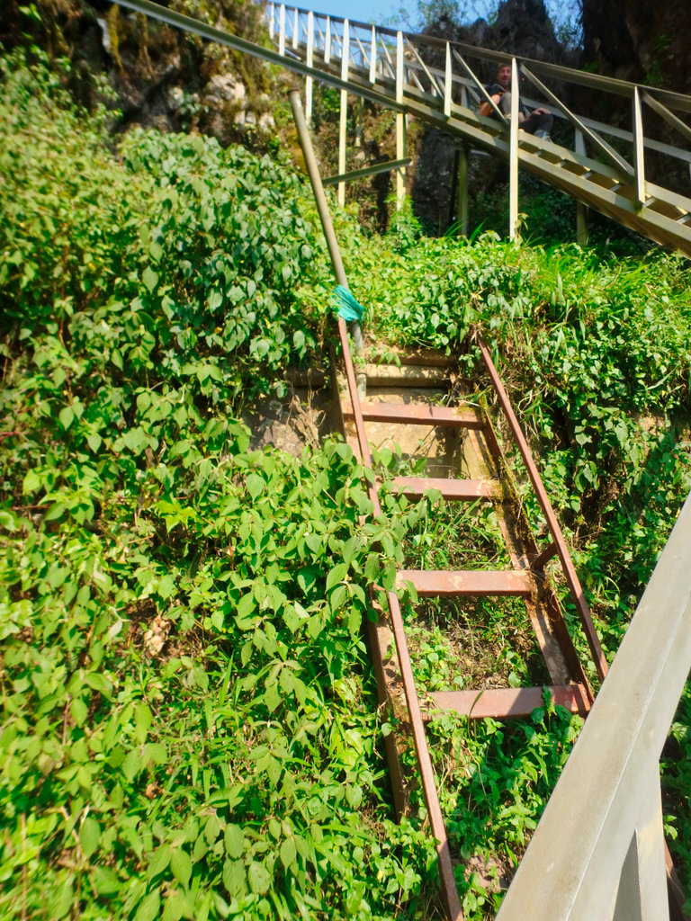
Remnants of the old cat ladder still in place.
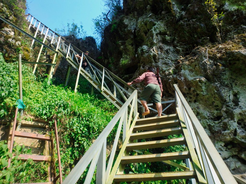
Our chubby armed guide got ahead of me, he does this trip sometimes 4 times a day.
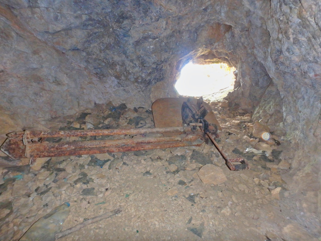
Just before you reach the top there is a small cave with a machine gun with an armoured plate in front, not sure if this was placed there or was, in fact, a shooting point.
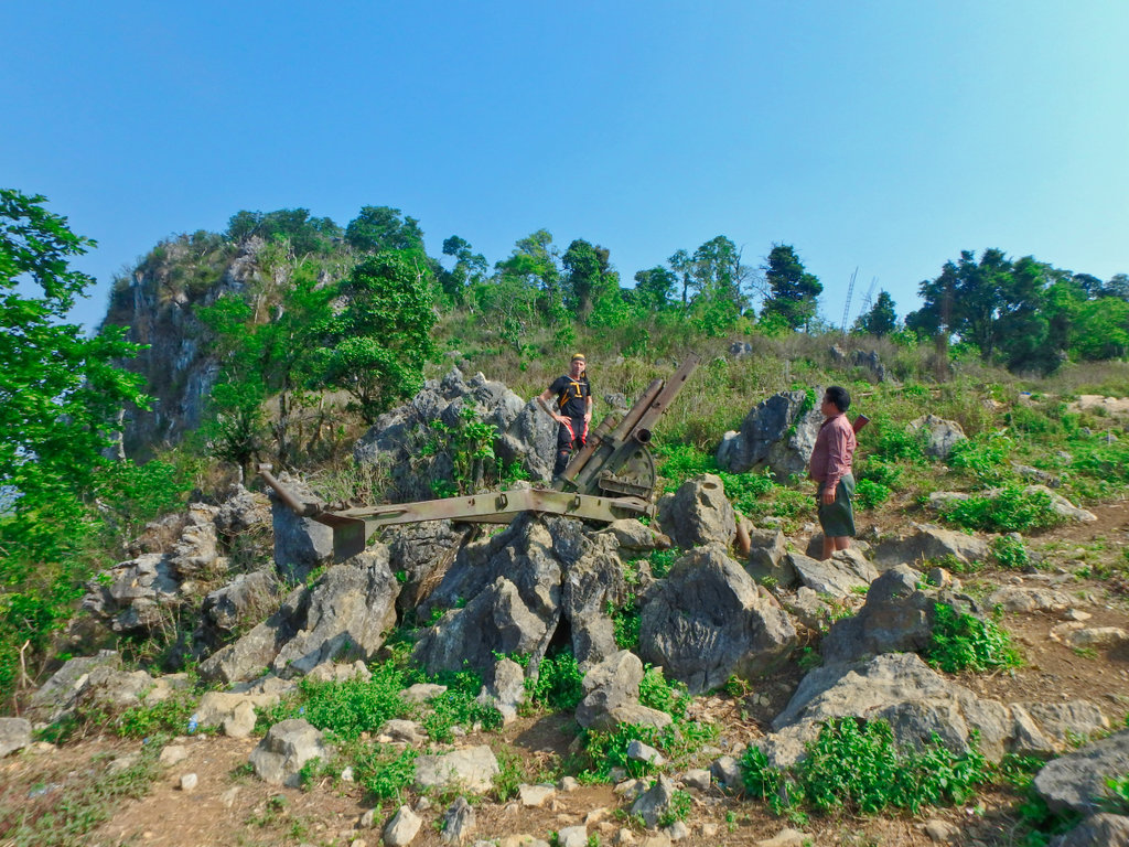
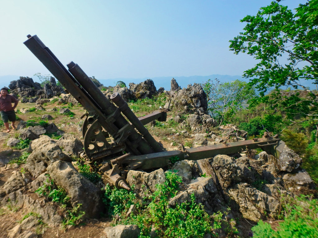
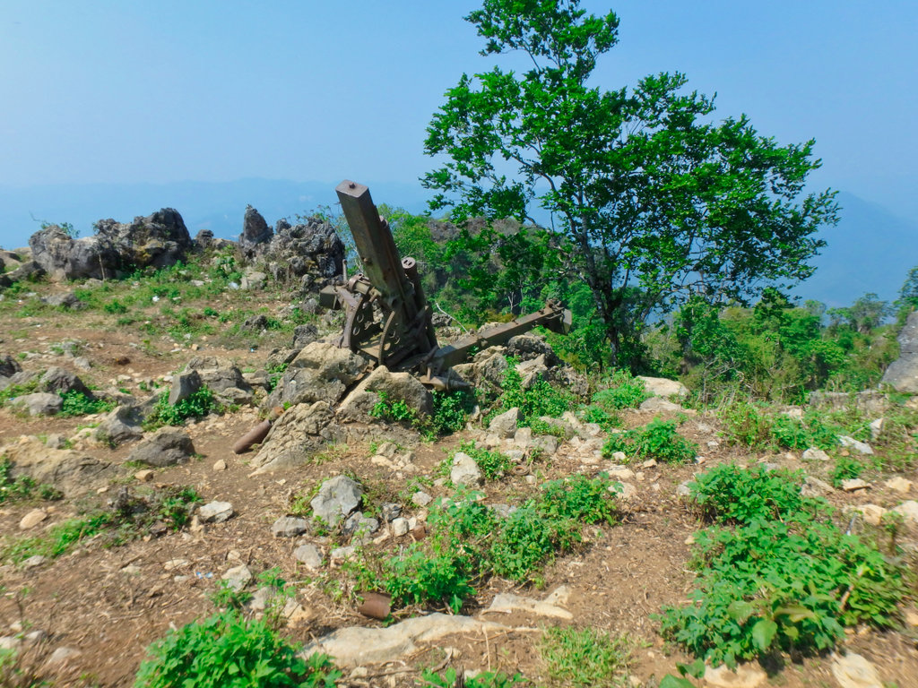
On the outcrop is a Howitzer, but the guide was unable to take us to that area.
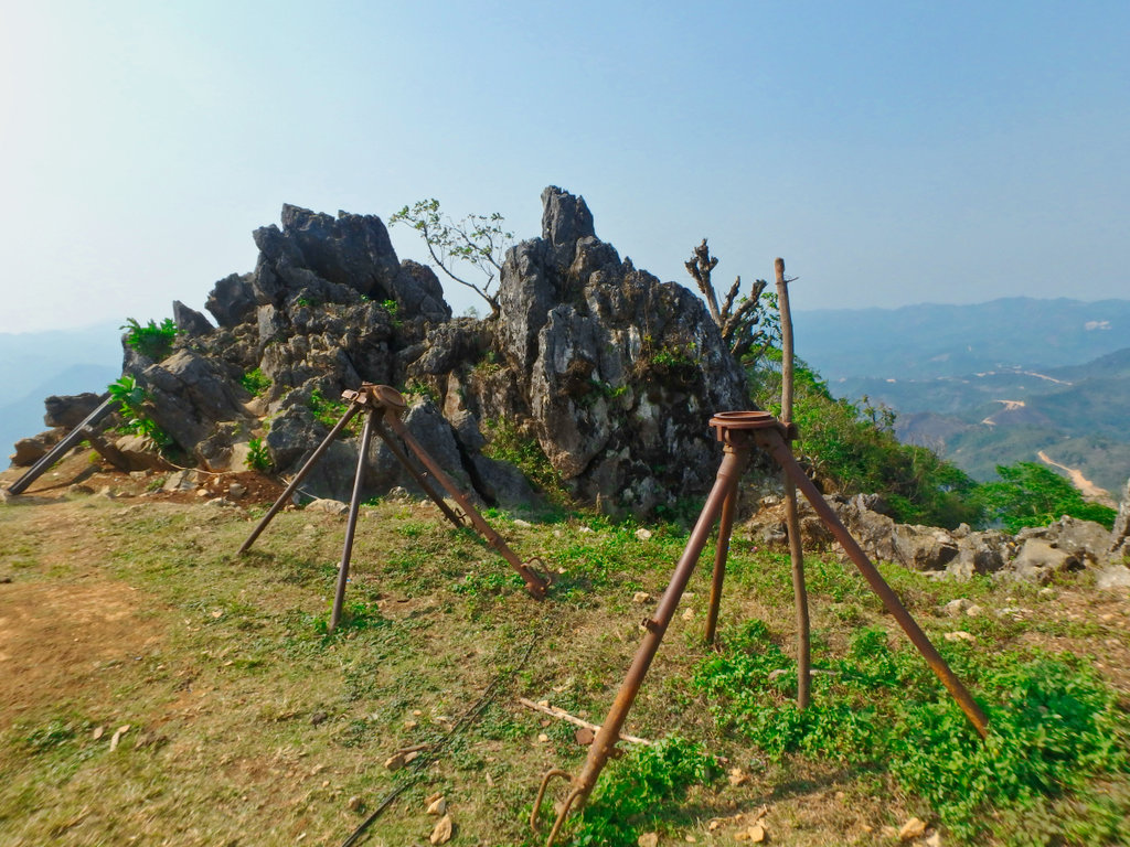
Presumably machine gun tripods.
One of two 105mm Howitzers we saw ( the third out of limits).
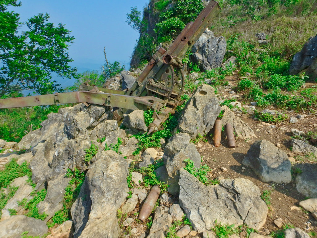
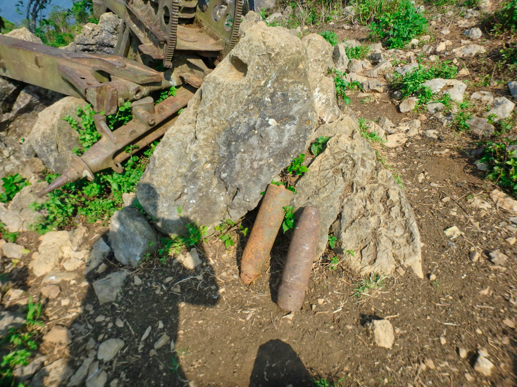
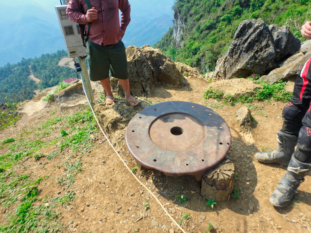
Was told this is a base plate for a mortar launcher.
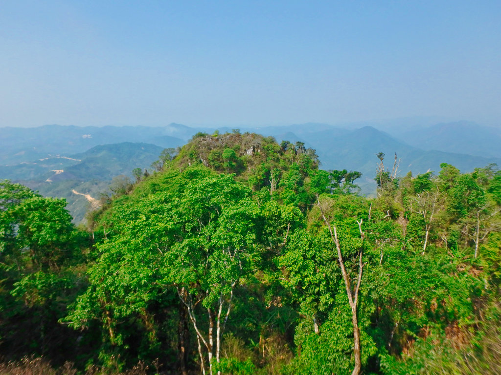
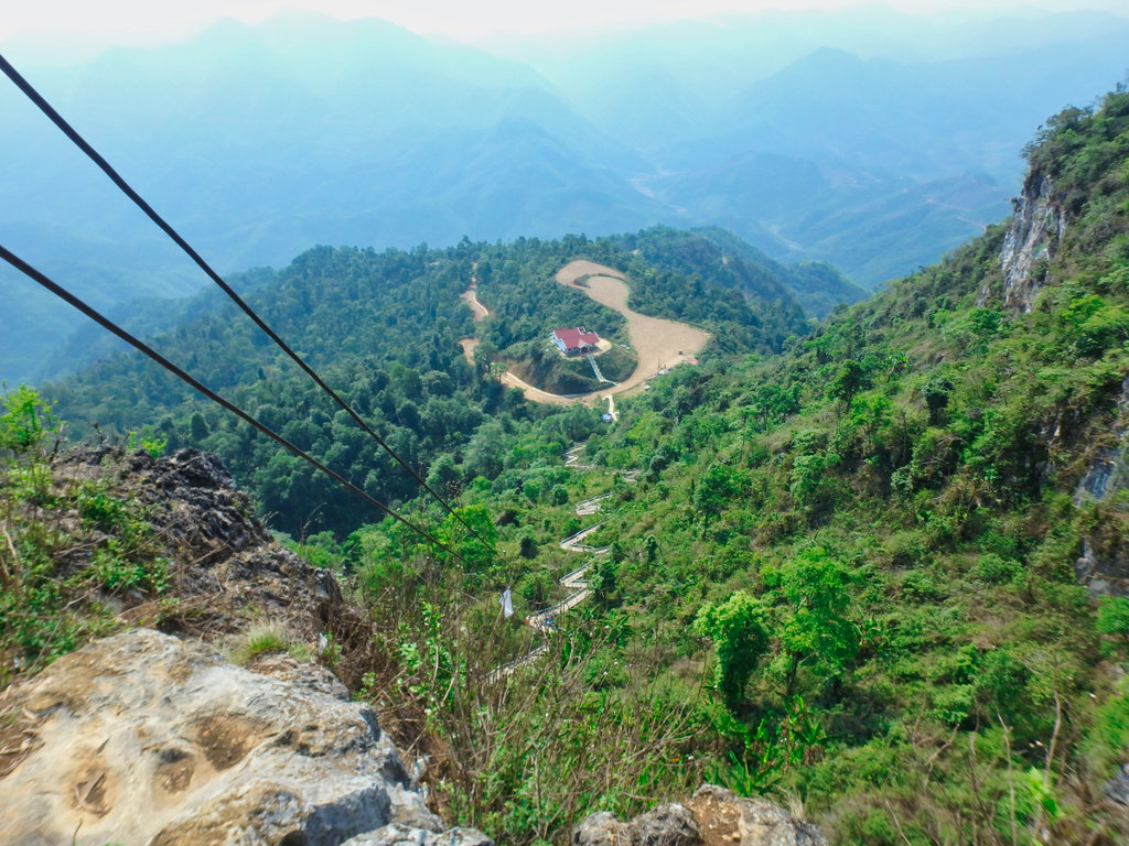
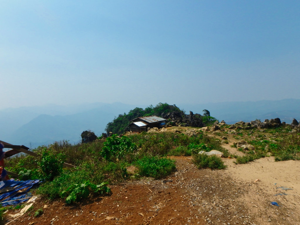
The view from the top, going down should be a lot easier.
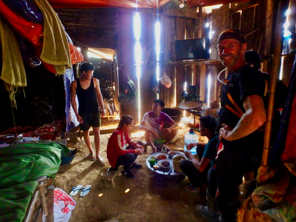
A small shack houses a small group of soldiers who protect the site.
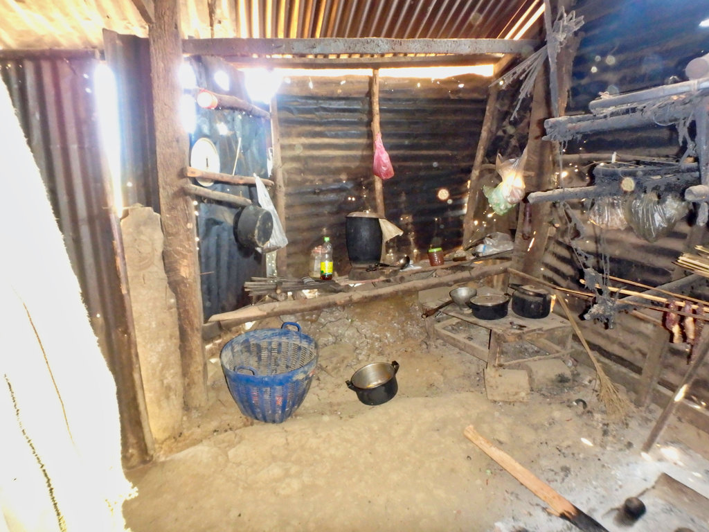
Pretty basic kitchen.
As you walk around you cannot help feel how isolated the place is, the battle for Lima 85 is well documented and 12 American servicemen are still unaccounted for, below some links to the tragedy that unfolded here.
Here is a video shot by a group of American Hmong people making a pilgrimage to the mountain, interesting perspective and some shots of the original base during construction I have not seen before.
[MEDIA=youtube]oP30oIZQYmM:3281[/MEDIA]
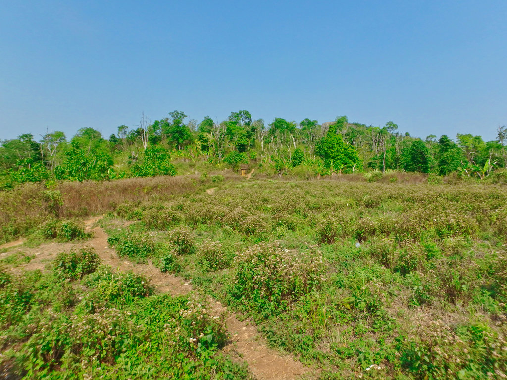
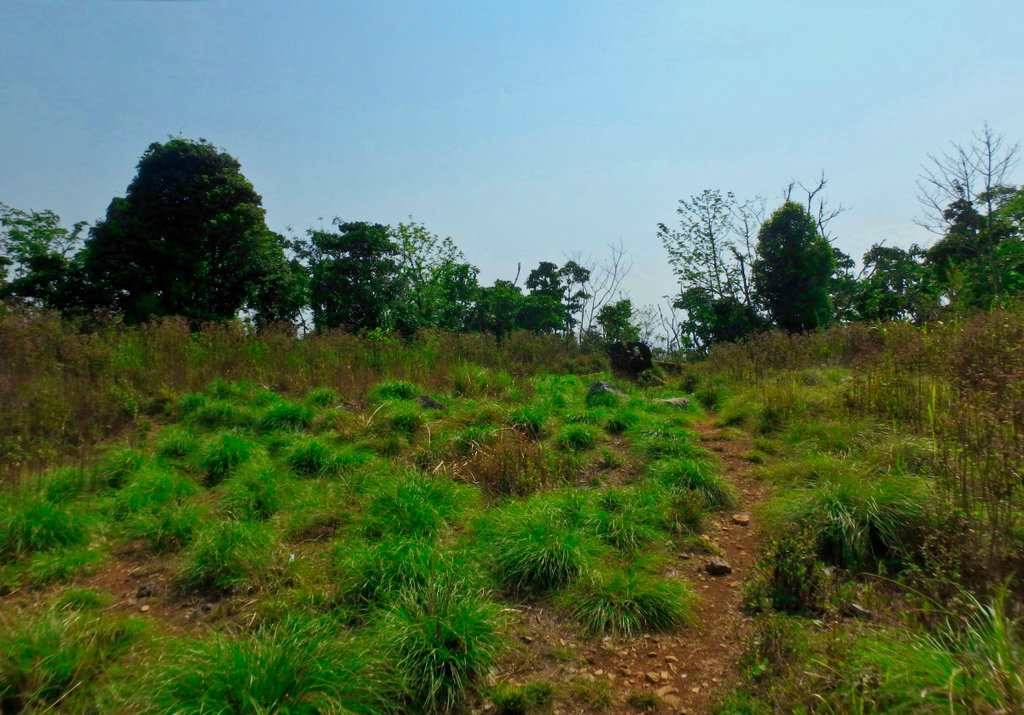
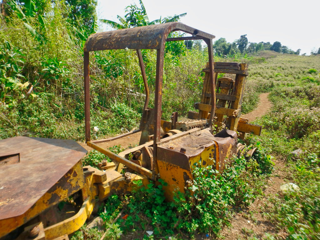
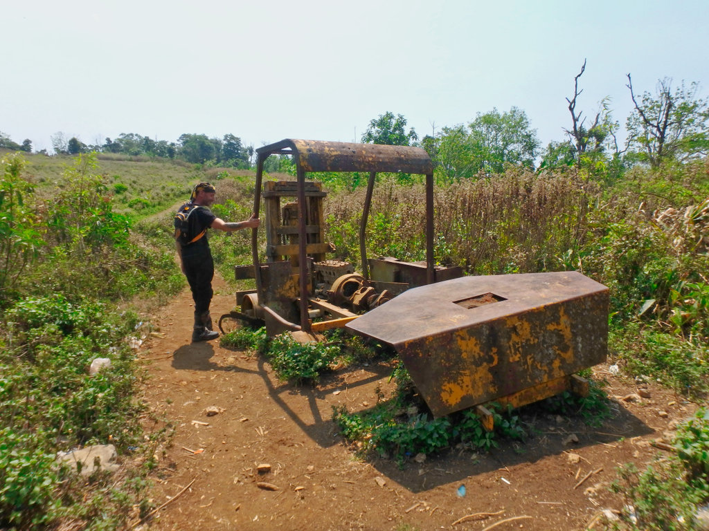
Approaching the landing zone, in the background the fork loader.
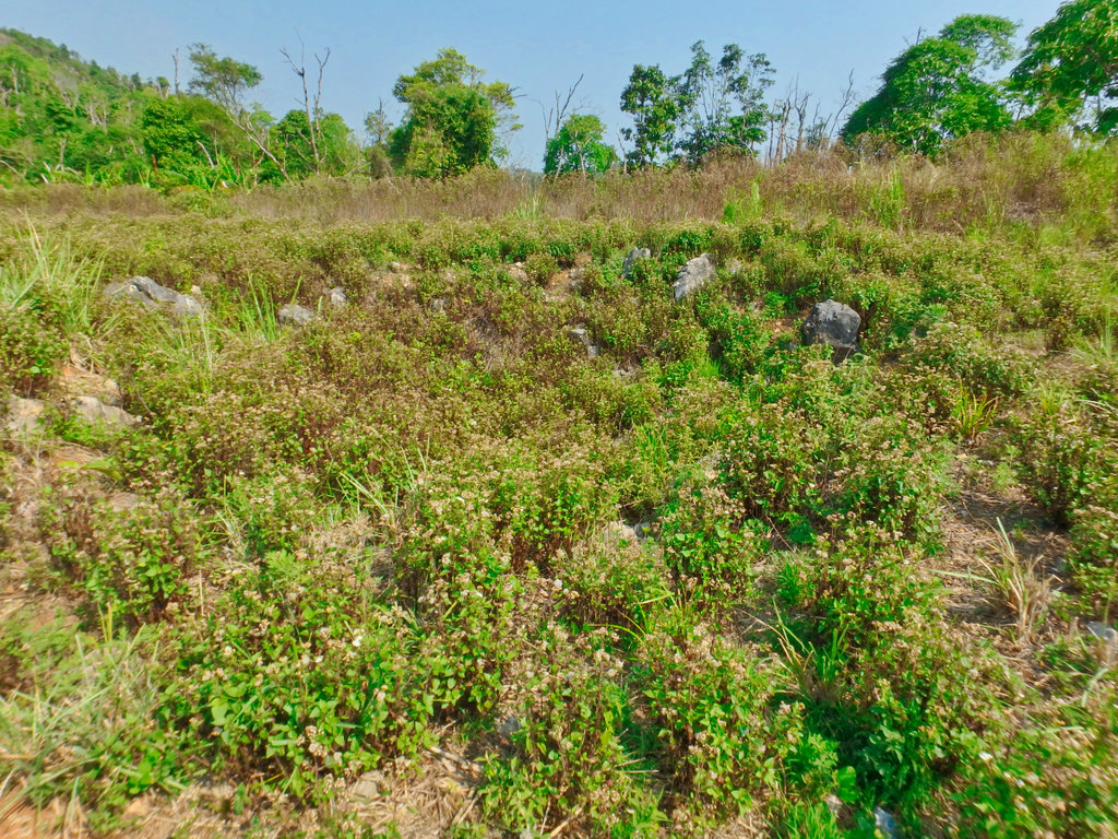
All the way along the pathway are huge bomb craters.
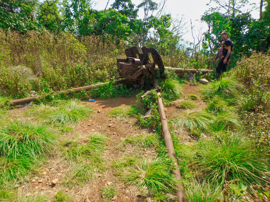
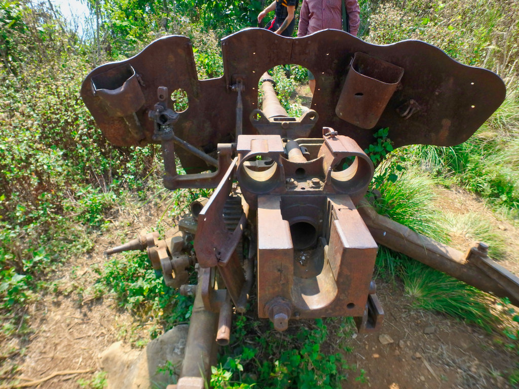
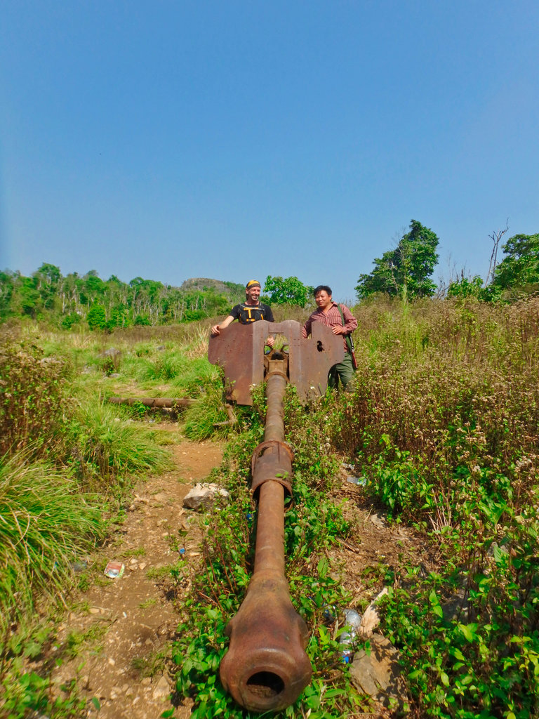
Another of the Howitzers.
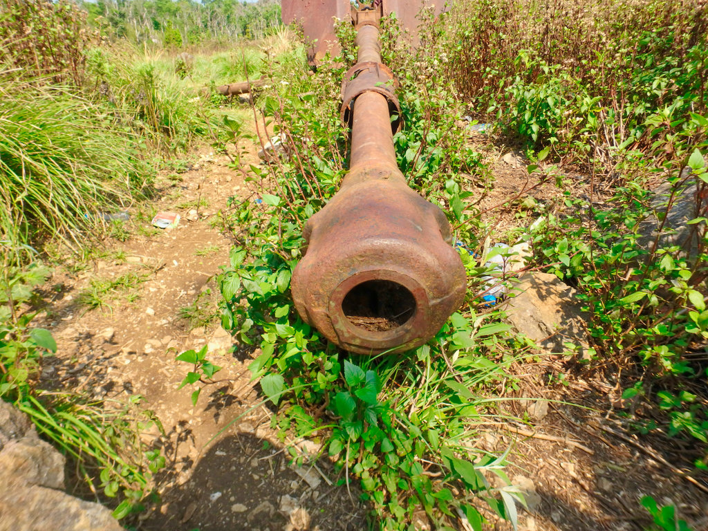
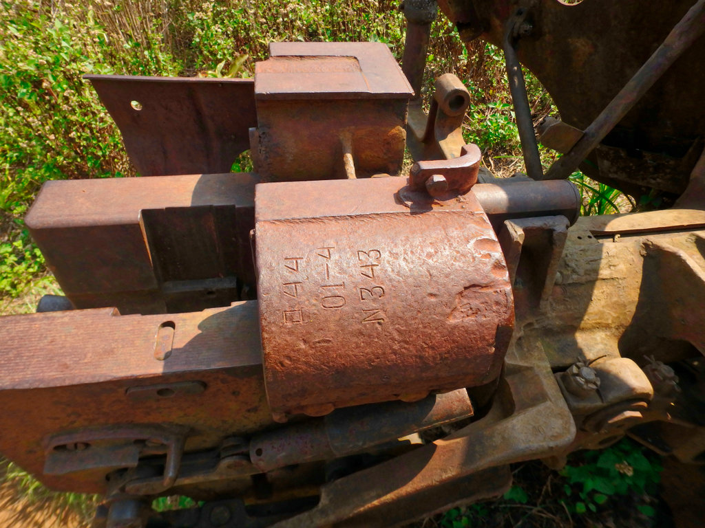
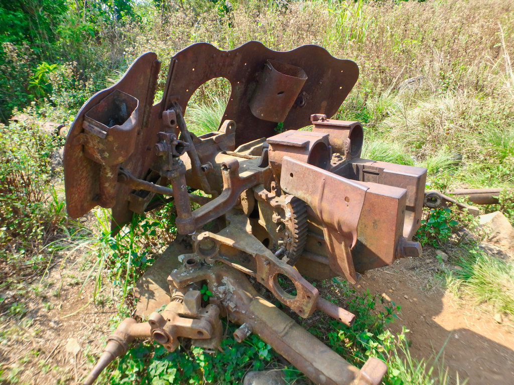
The fork loader, on closer inspection the motor has been blown apart.
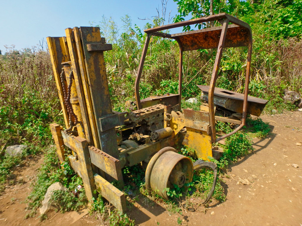
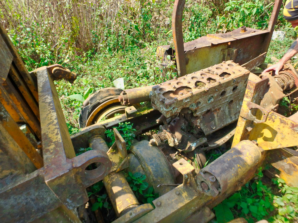
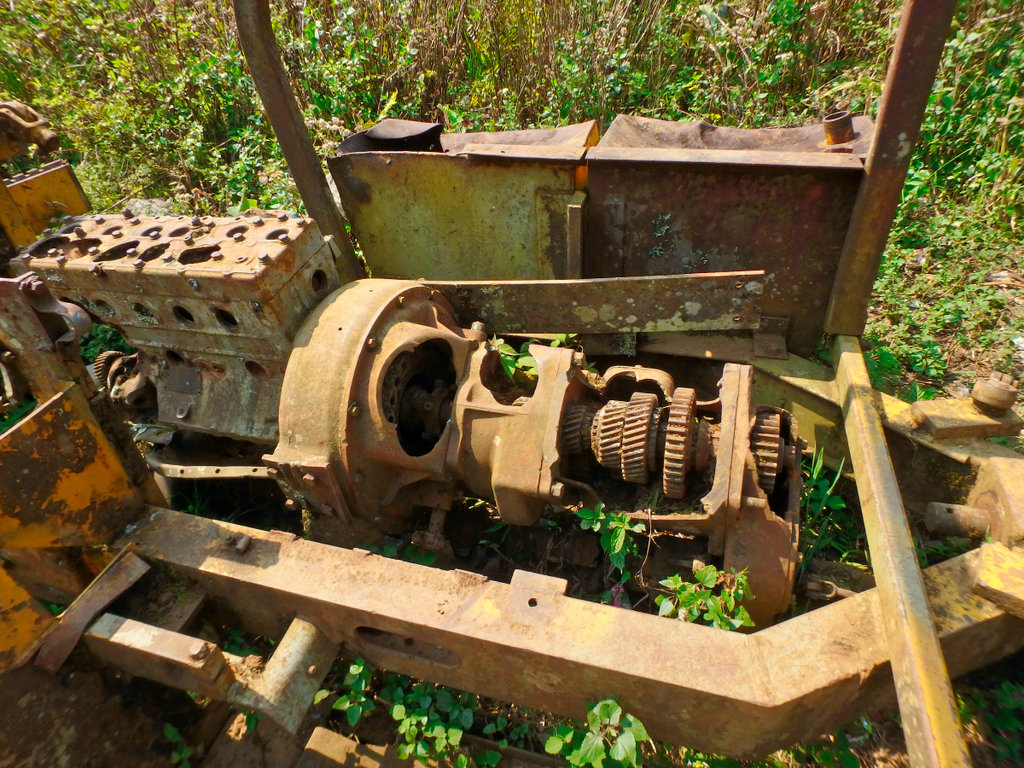
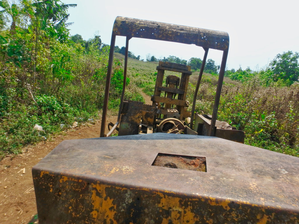
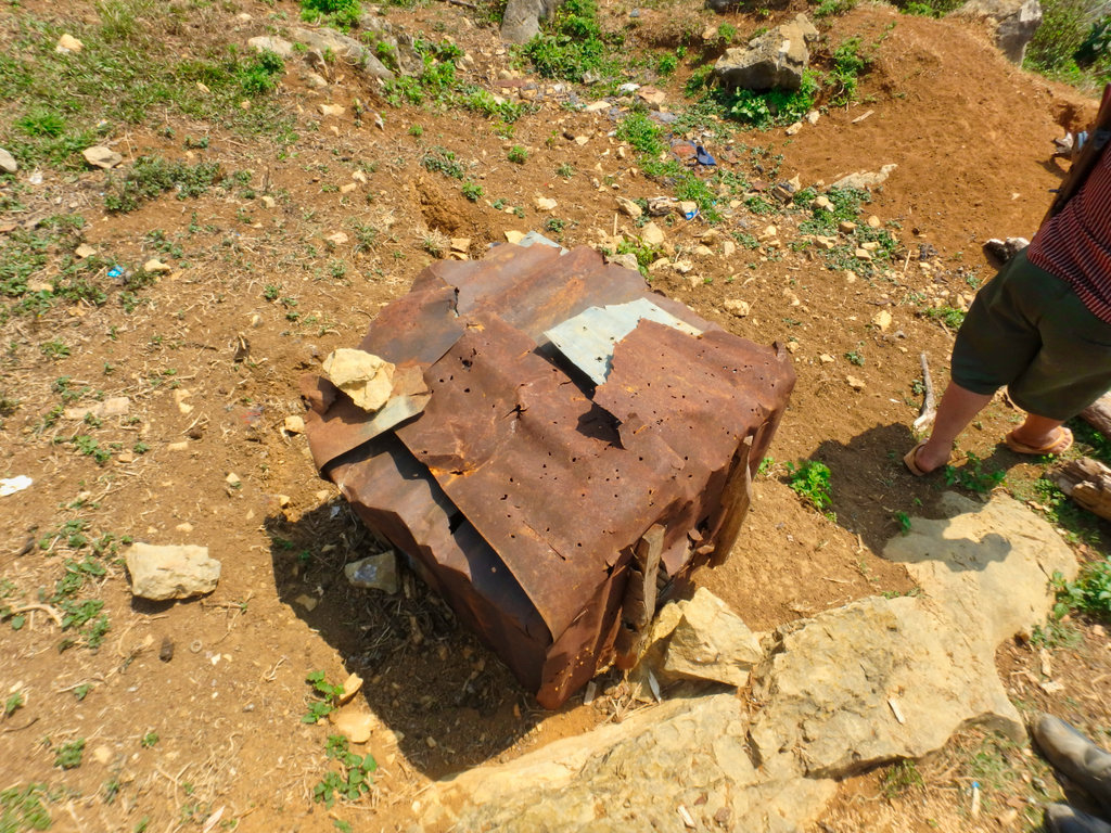
Roof riddled with bullet holes.
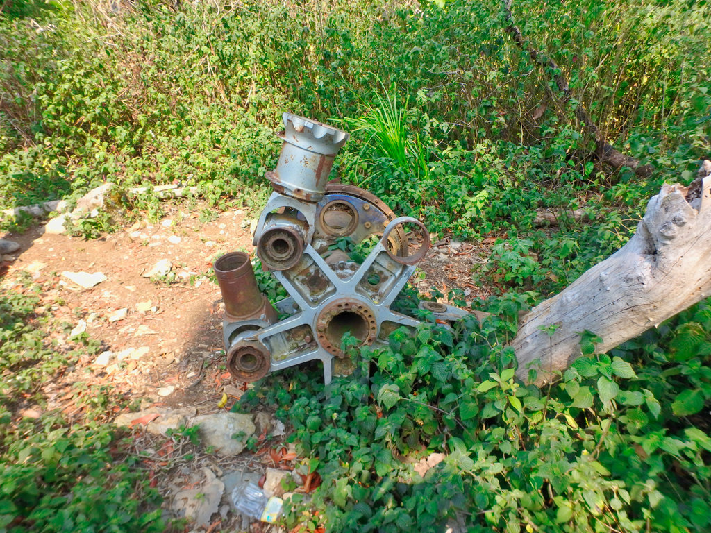
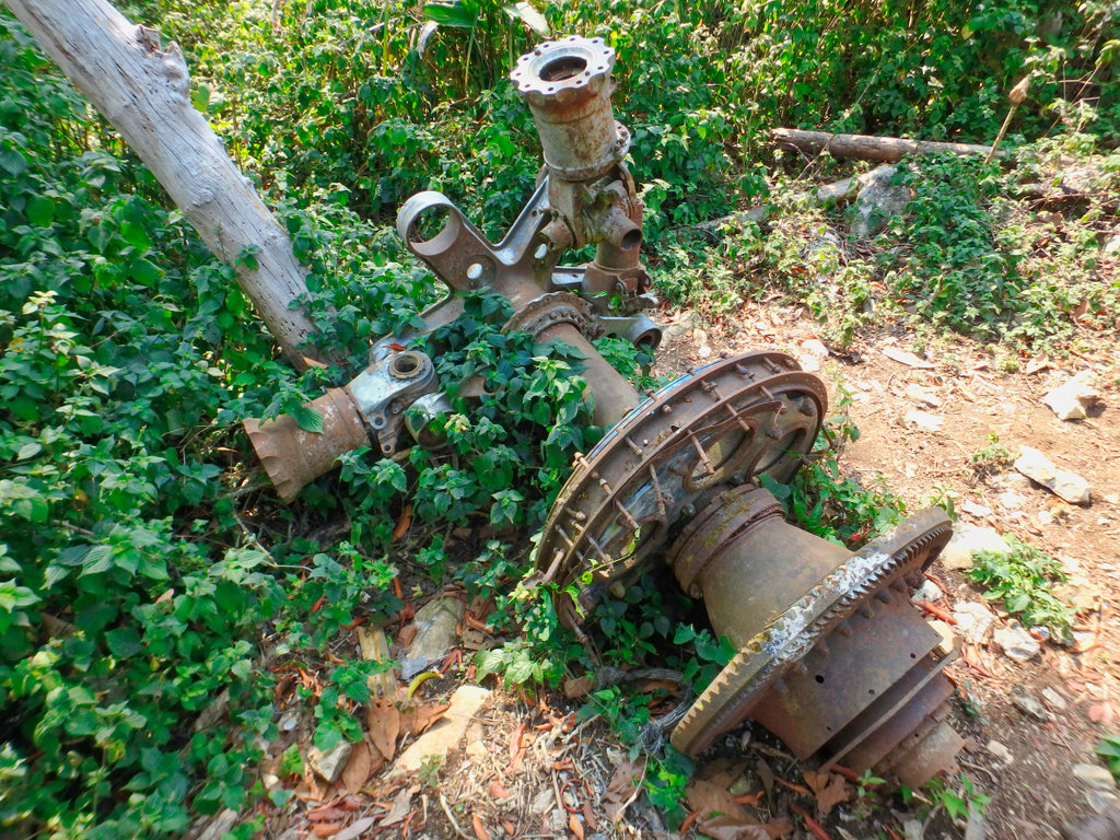
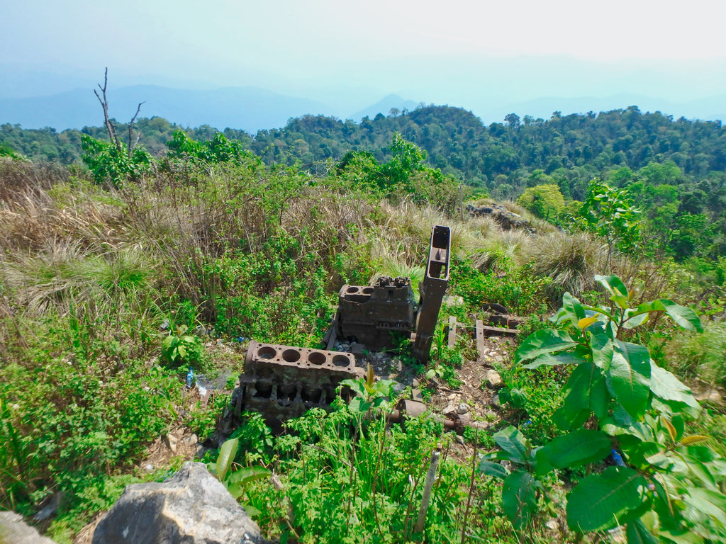
The guide then brought us to what looked like parts of the motor of a helicopter, I was not aware any helicopters crashed on the mountain.
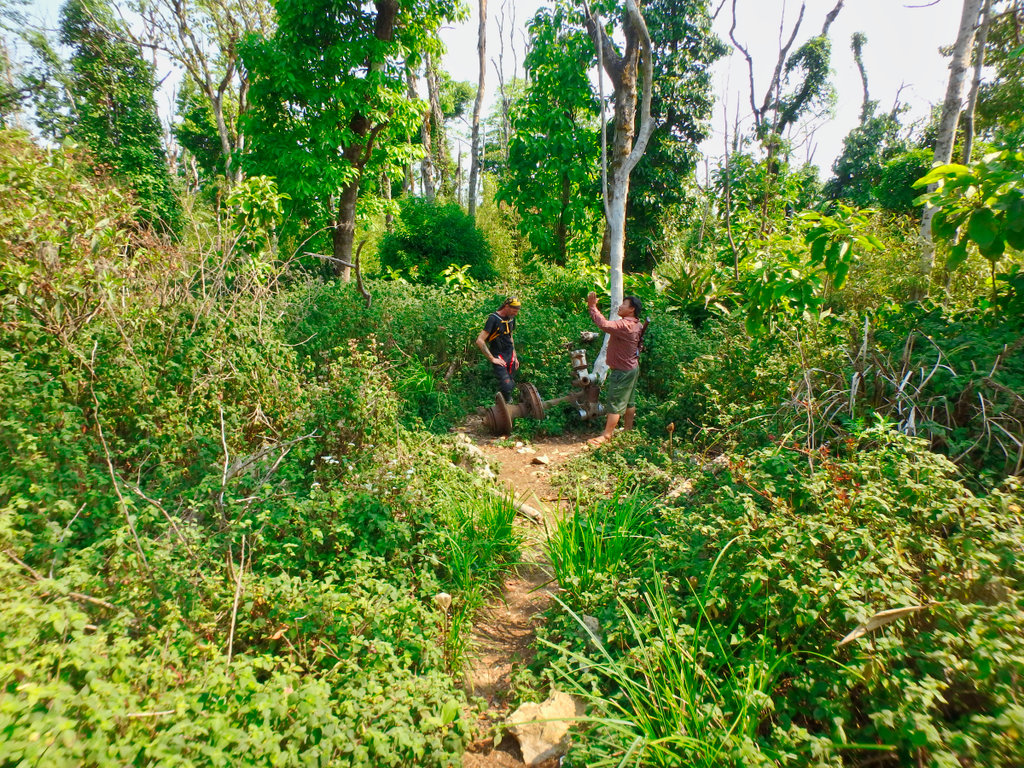
Clearly the rotor shaft.
One of the many natural gun emplacements.
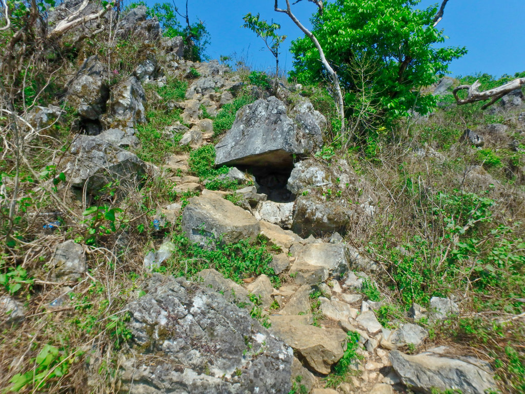
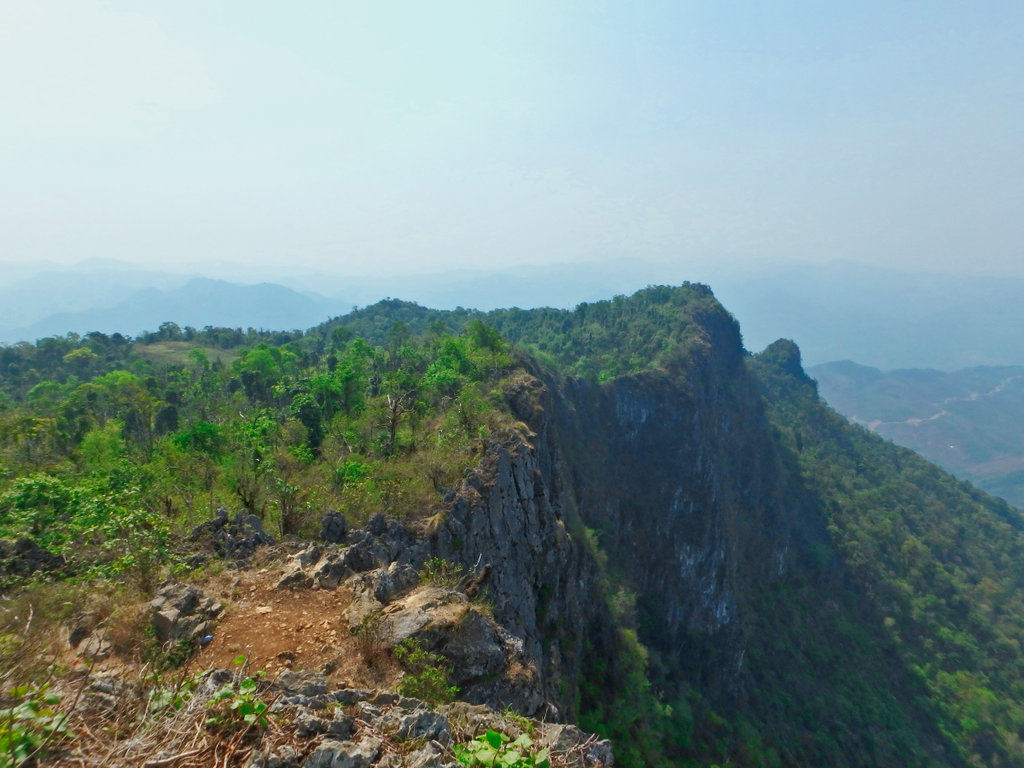
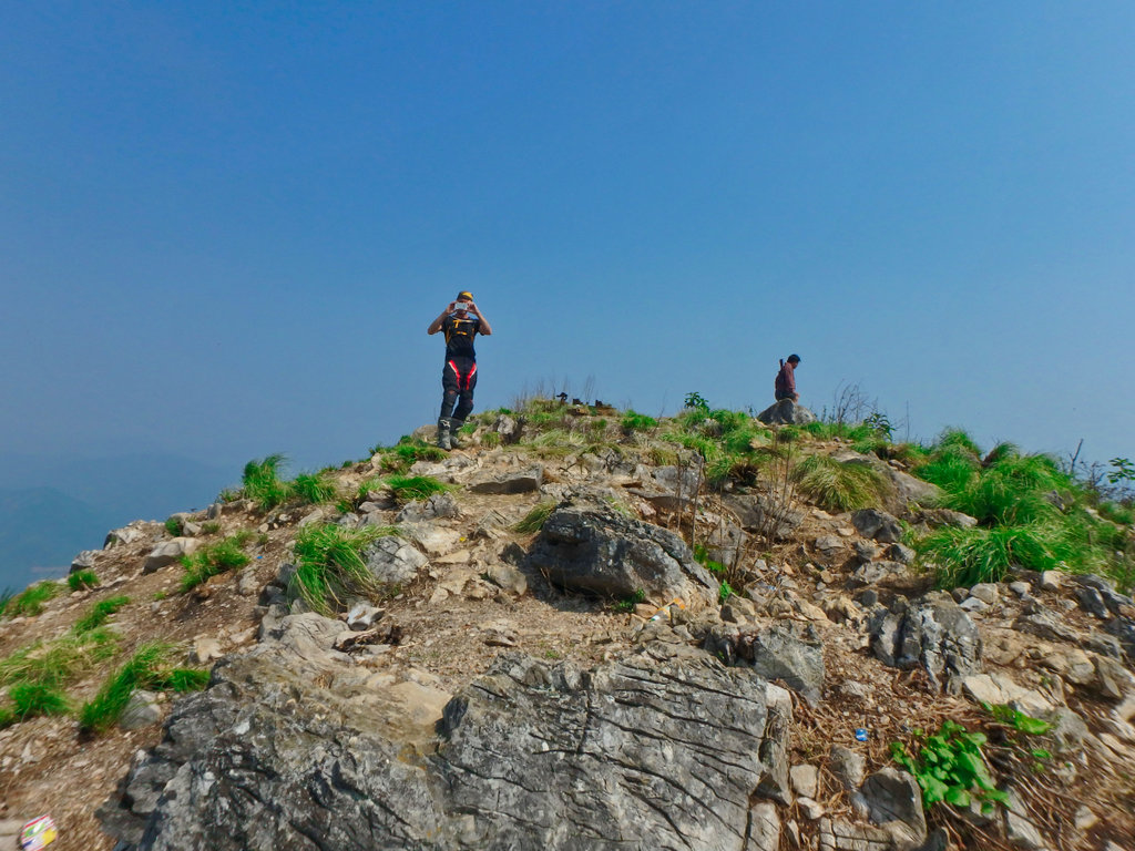
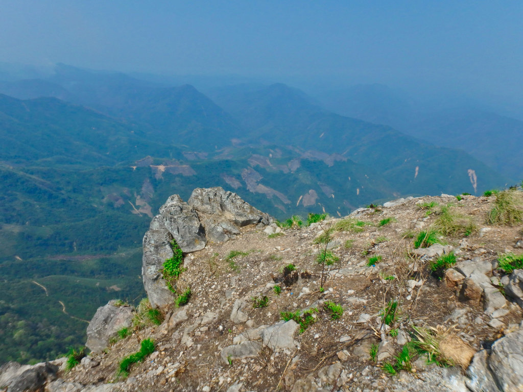
Part of the generator motor.
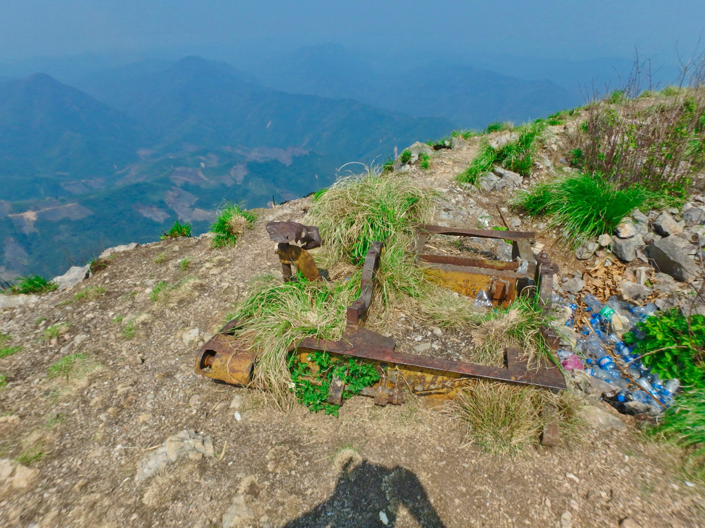
The Tacan control building, little left apart from the steel base work.
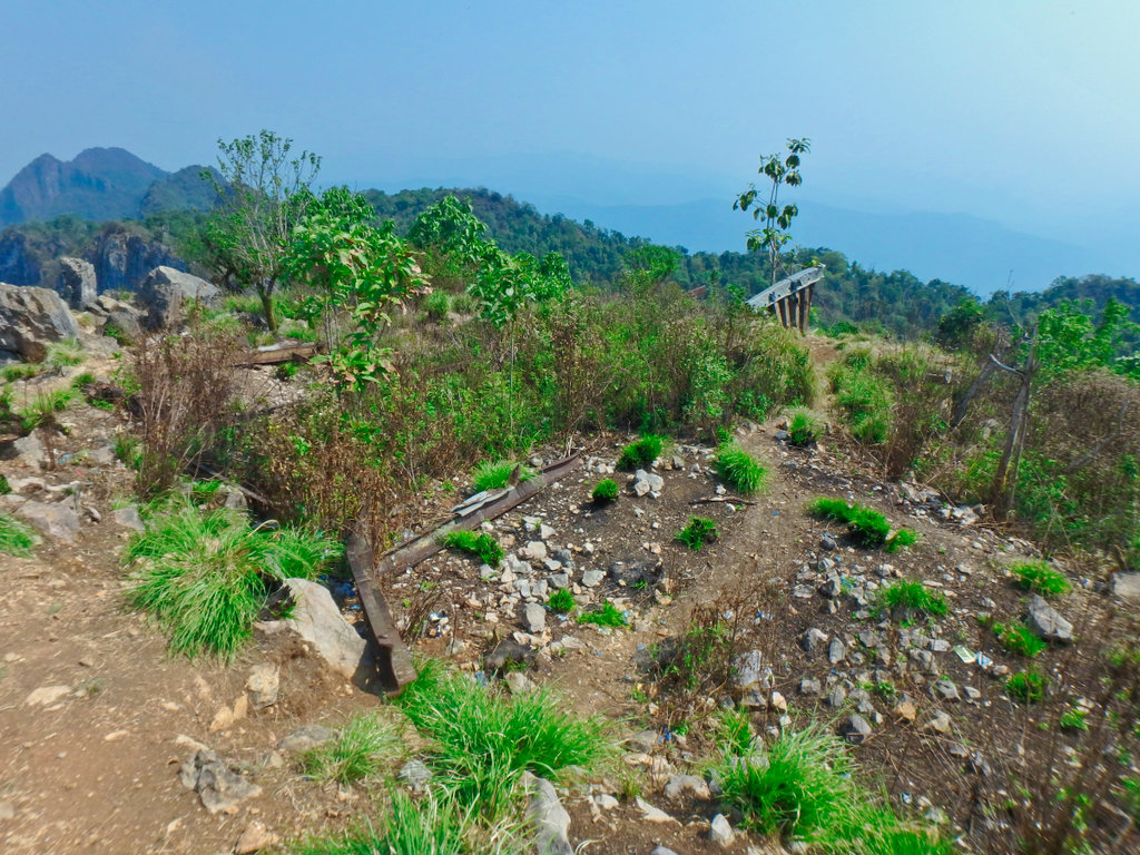
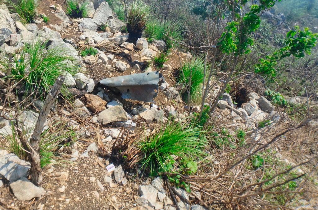
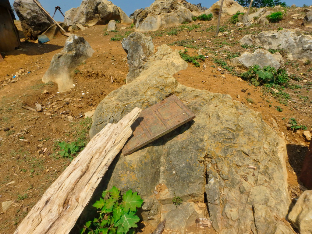
Mangled steel from the bombing runs to destroy the base after it's evacuation.
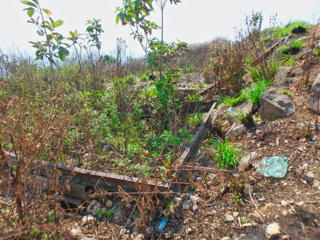
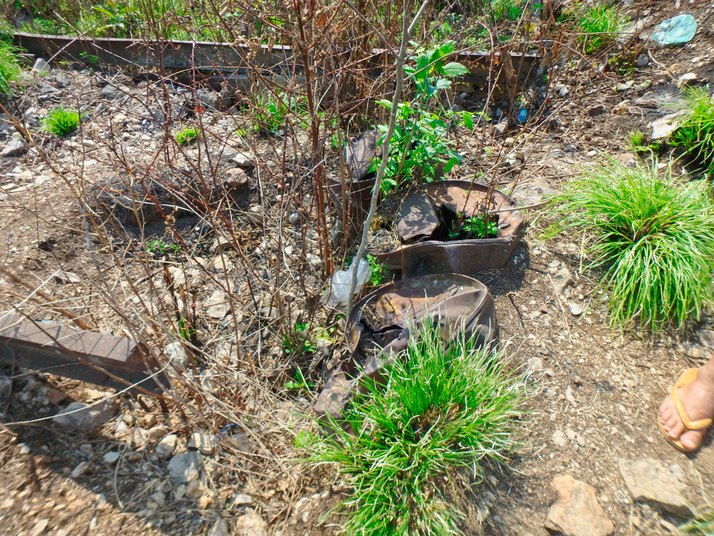
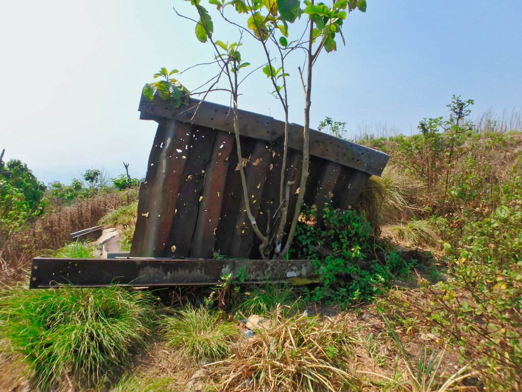
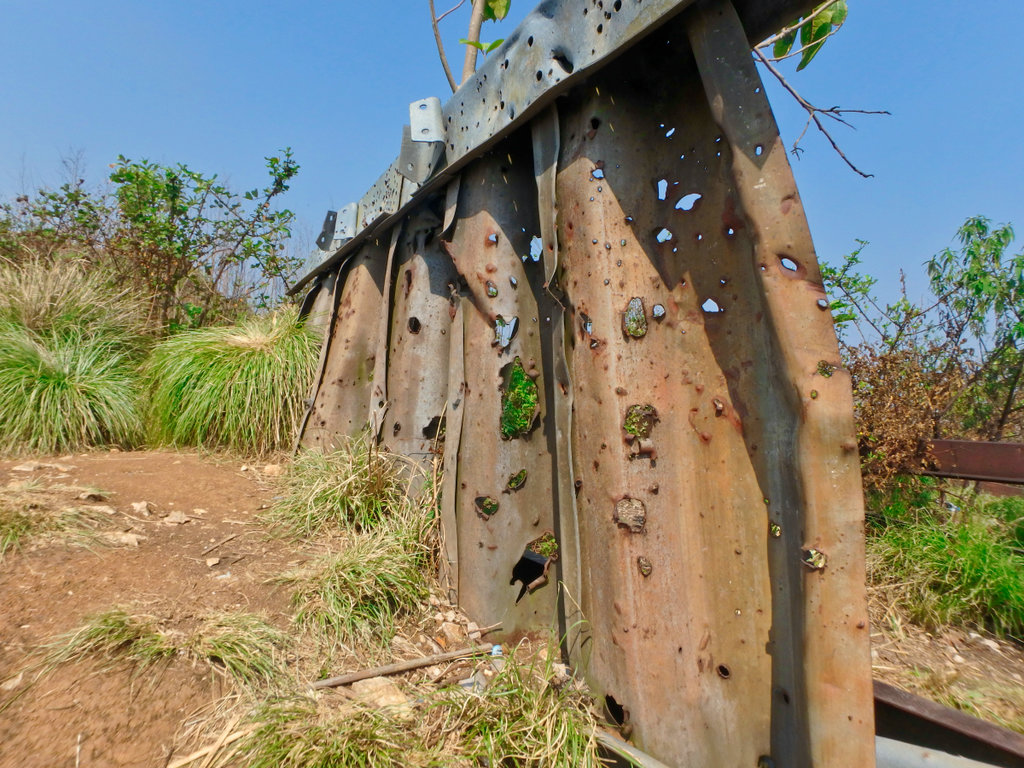
This gives some sense of the ferocity of the attack, this siding torn apart by shrapnel.
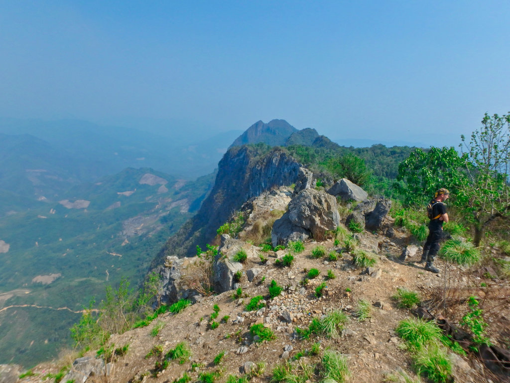
The highest point of the mountain, hard to imagine sappers could climb up here with weapons and other equipment. Also understanding how all the soldiers and other personnel trapped must have felt under such an attack knowing the only way off was by air, tragic indeed.
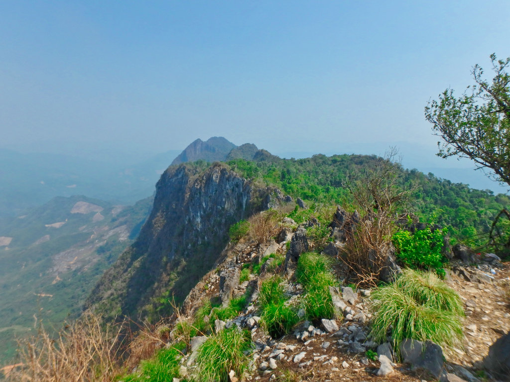
A small cave that runs north to south through the mountain.
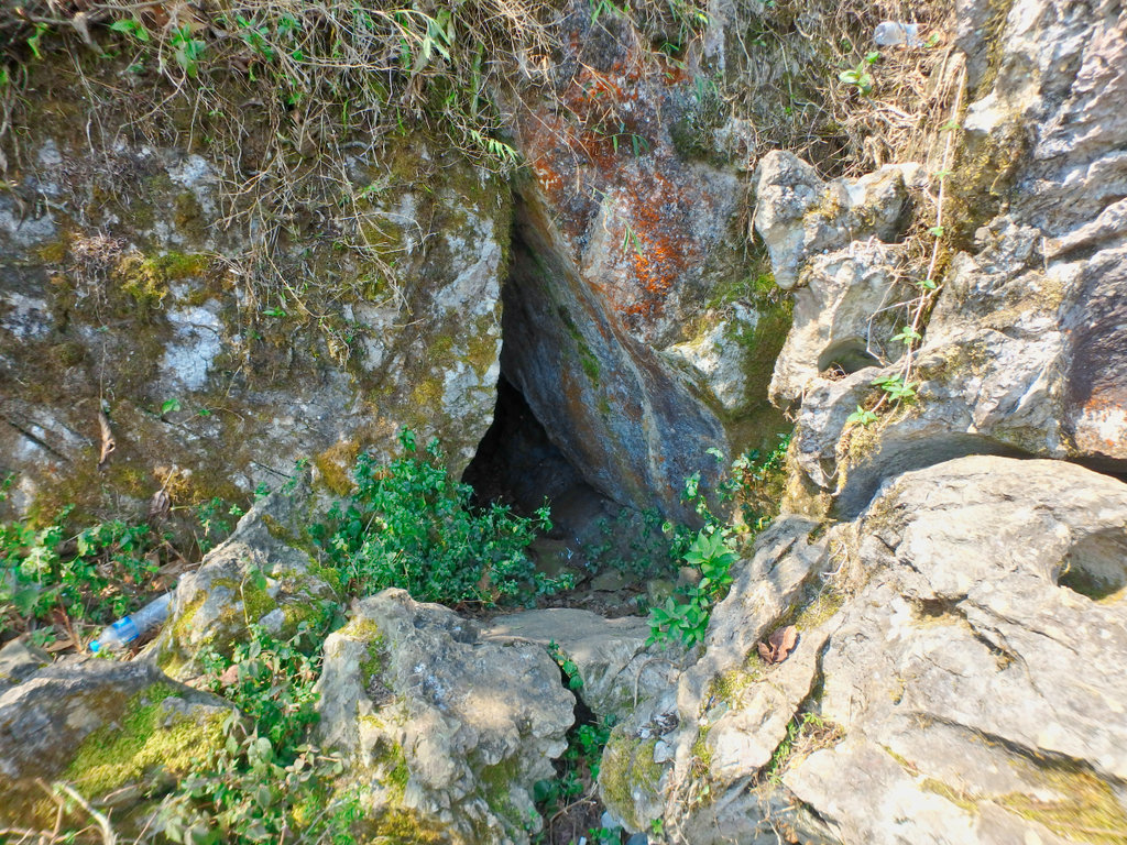
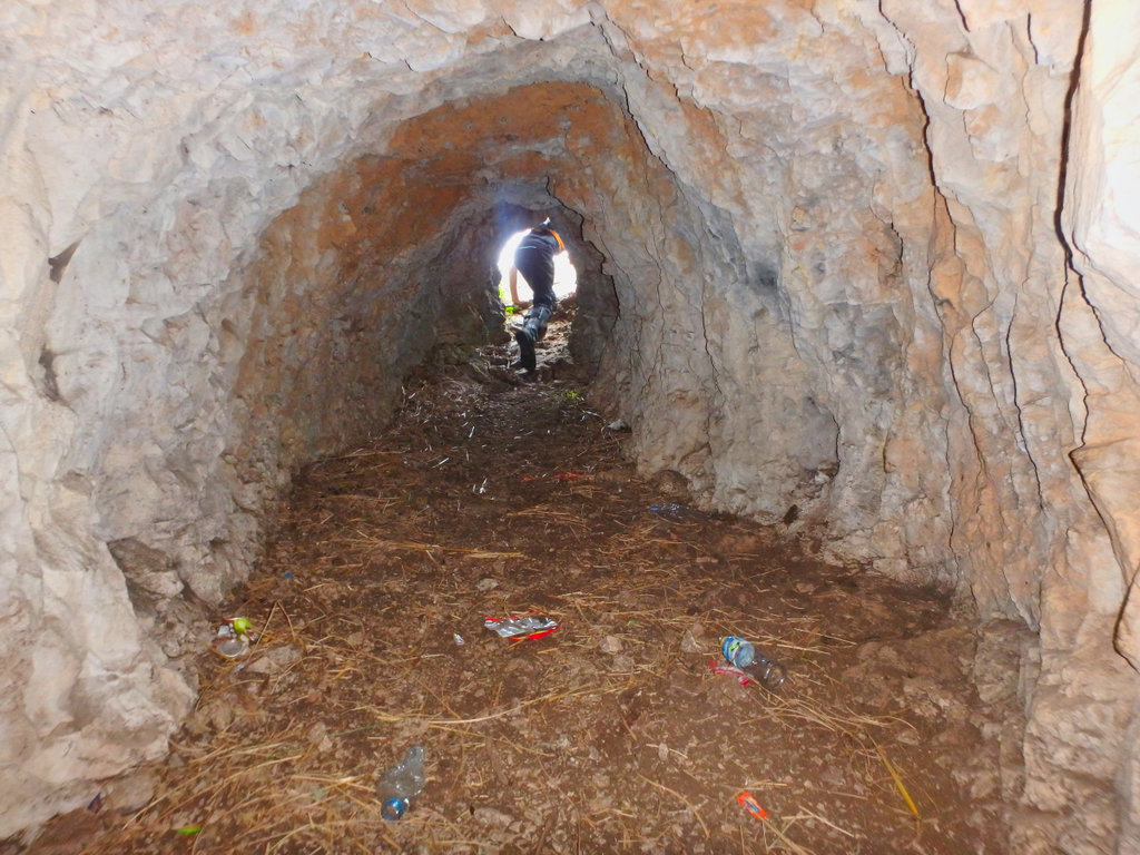
The narrow tunnel maybe 30 metres long.
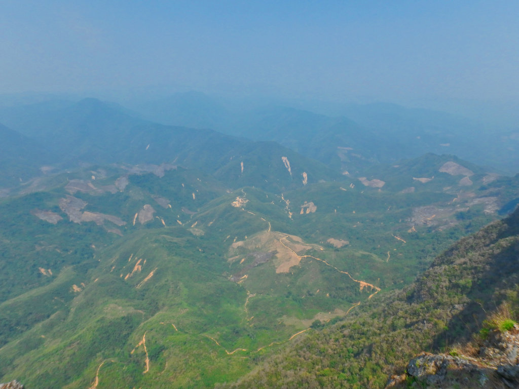
The view was somewhat poor due to the burning.
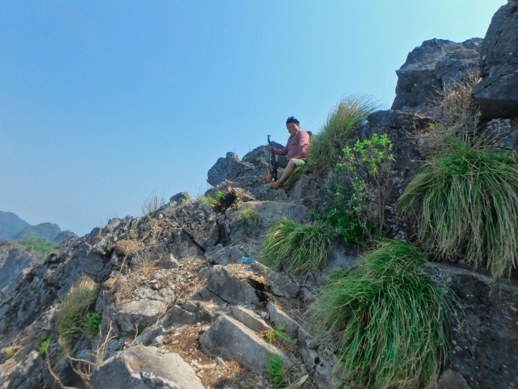
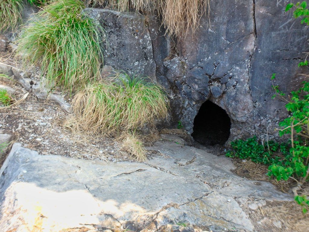
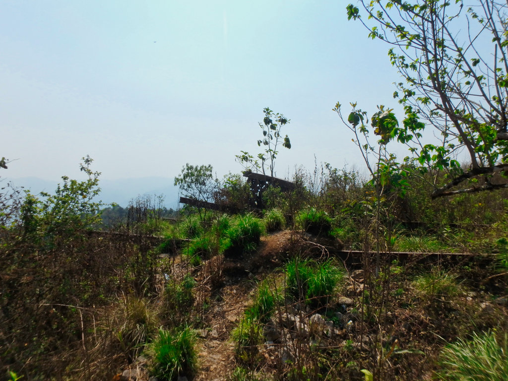
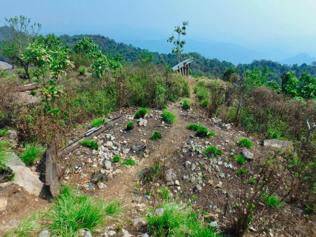
The guide showing us what he claimed to be a defence point as he casually set a fire to reduce the vegetation, how there are no live rounds in the area now.
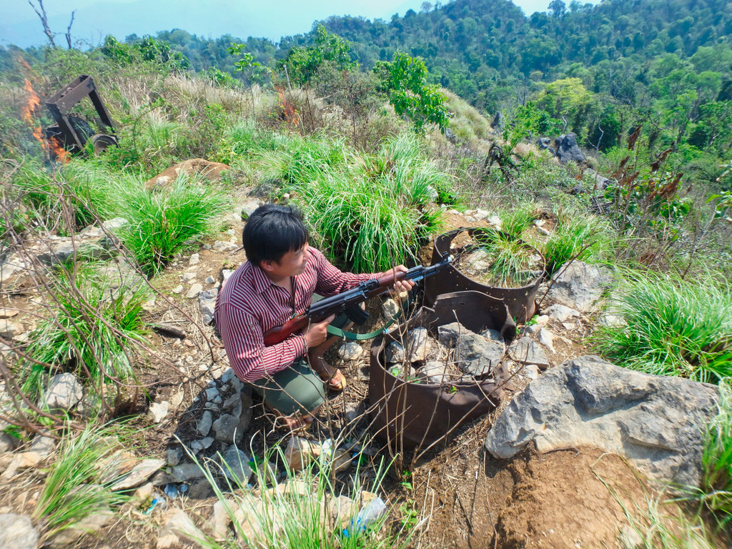
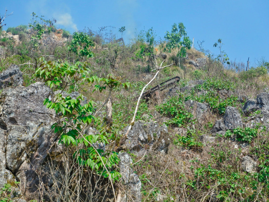
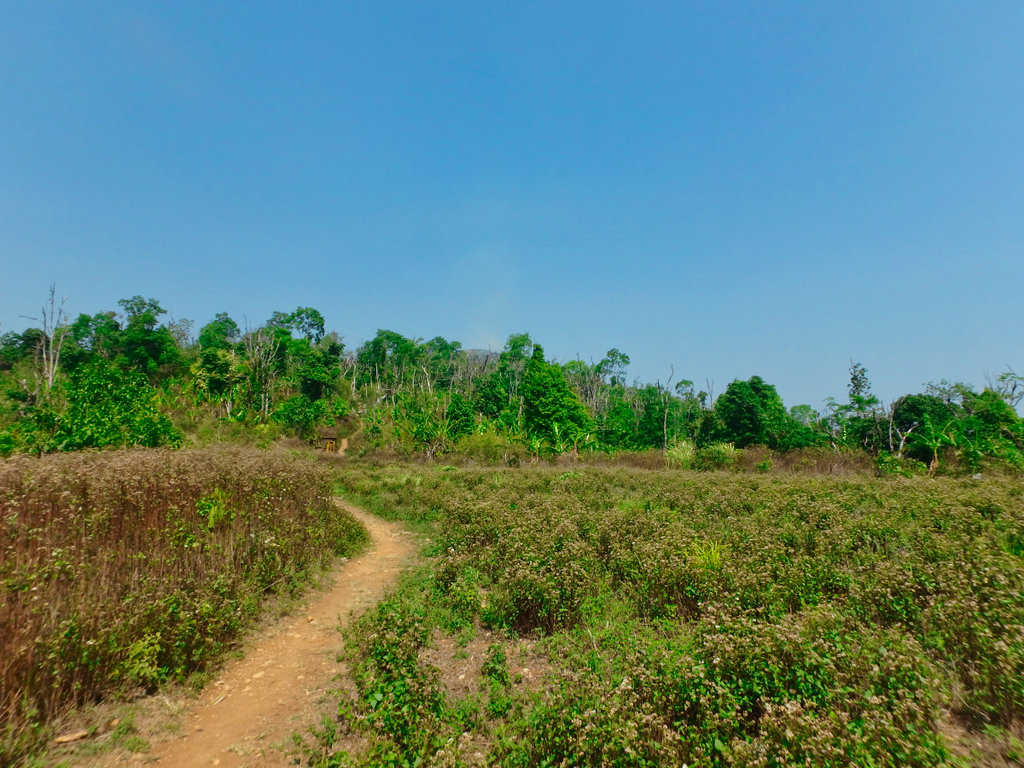
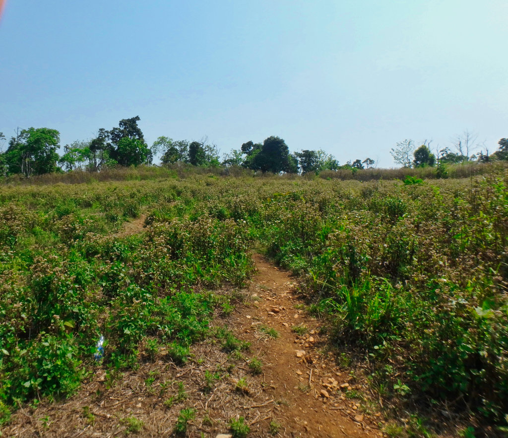
Another view of the landing zone looking towards the Howitzer.
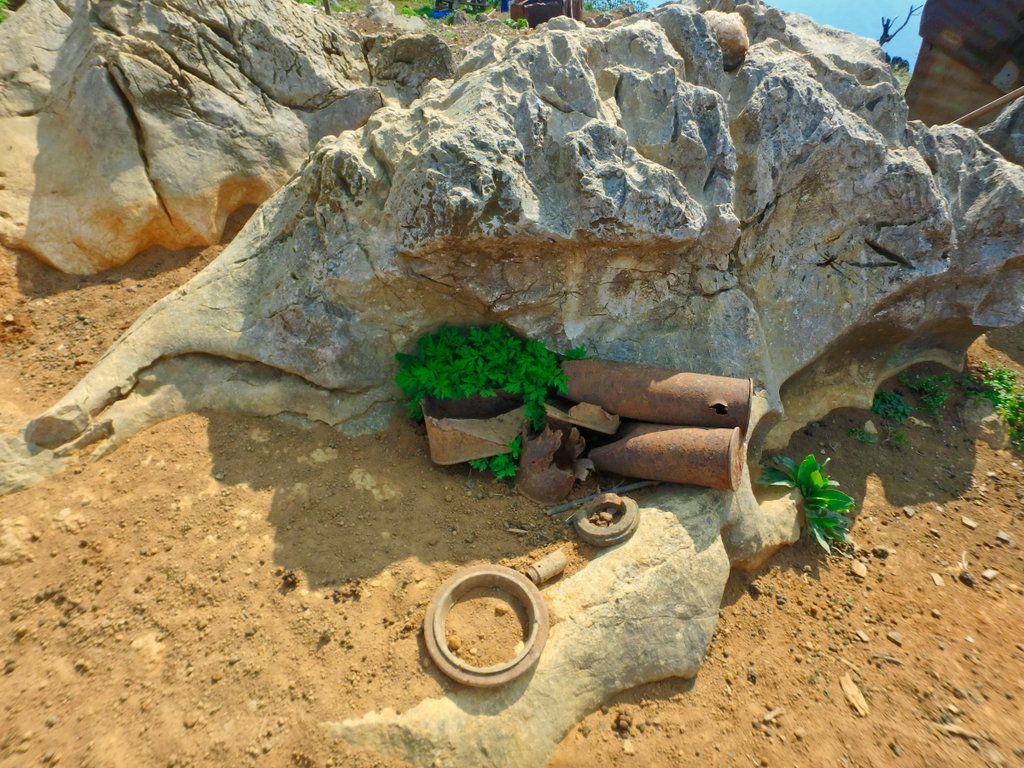
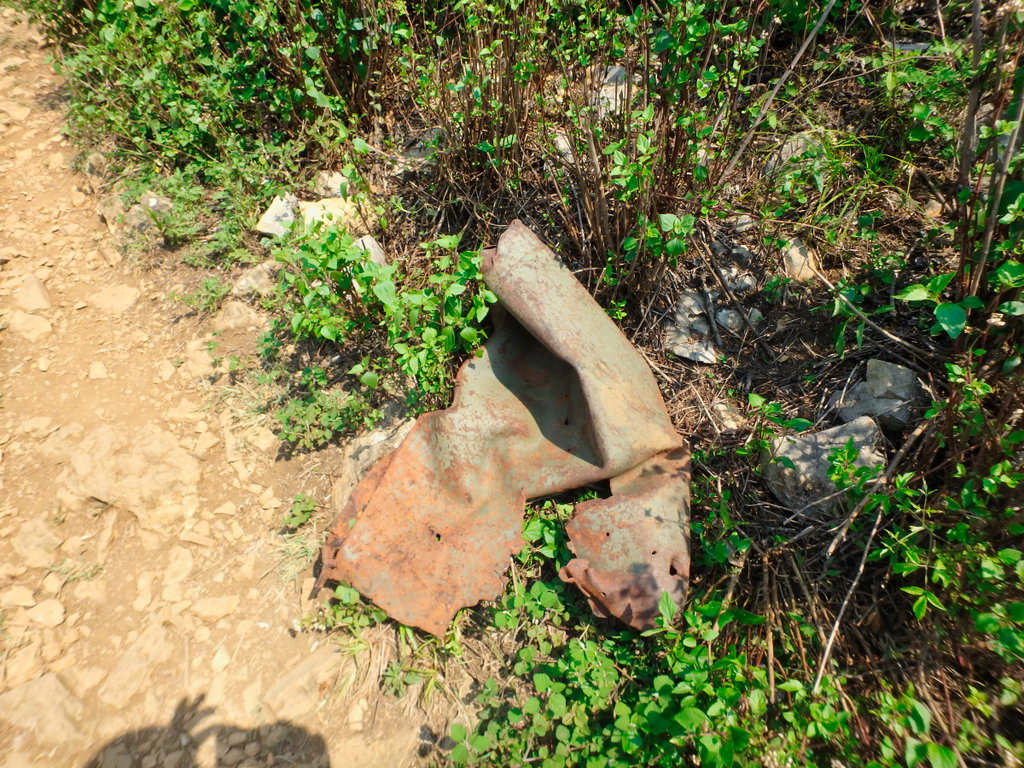
Everywhere are scrap torn metal from the bombings.
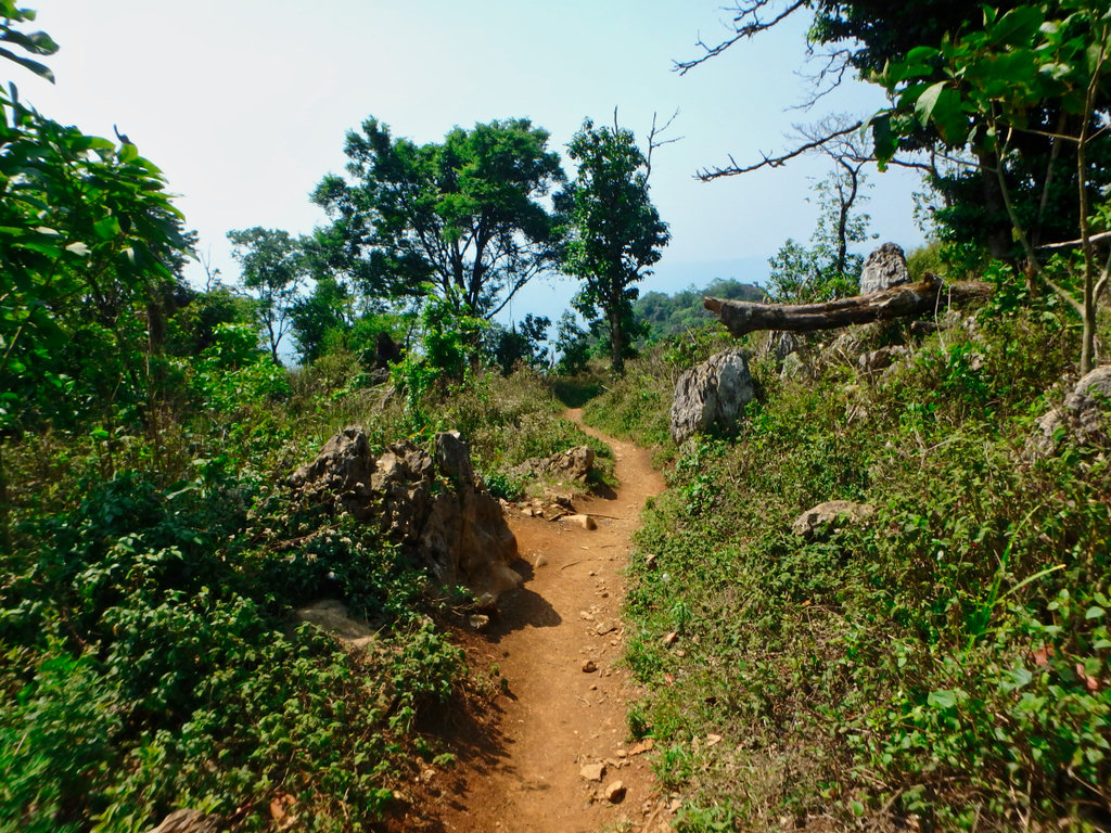
Heading back to the soldiers camp, to the right is a new brick built camp being made, all the bricks are carried up by hand.
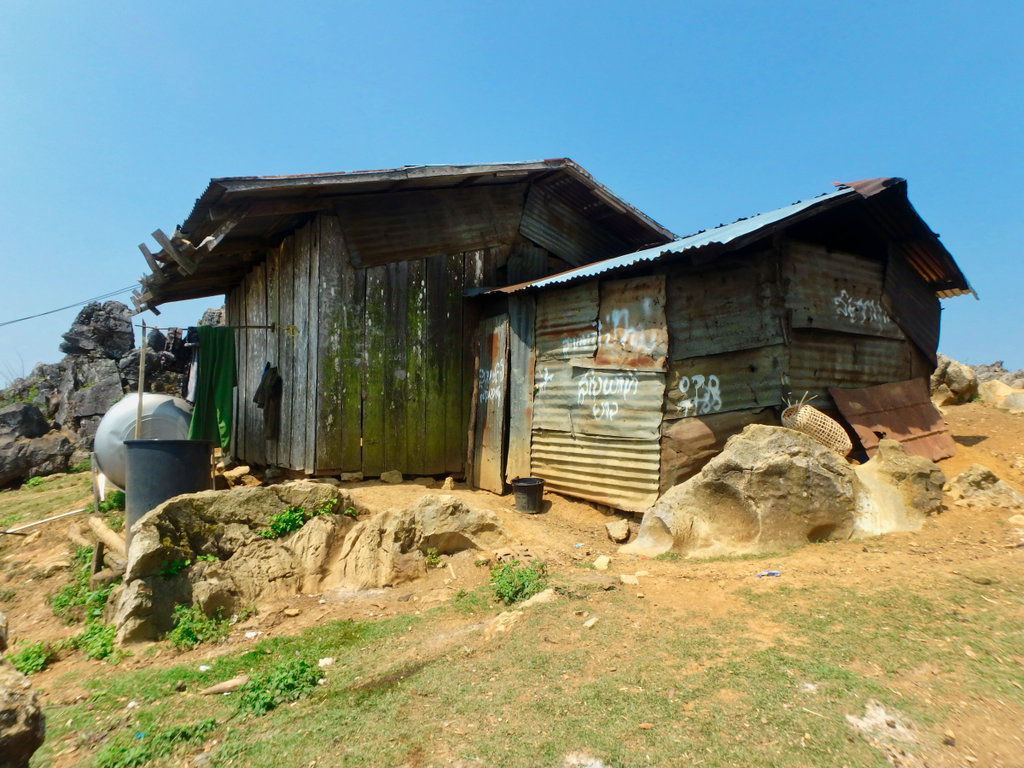
We make our way down, to walk around it carefully you need a couple of hours.
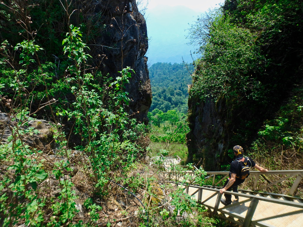
As we made our way down another cave but very deep, I came across a belt buckle, the guide told me to keep.
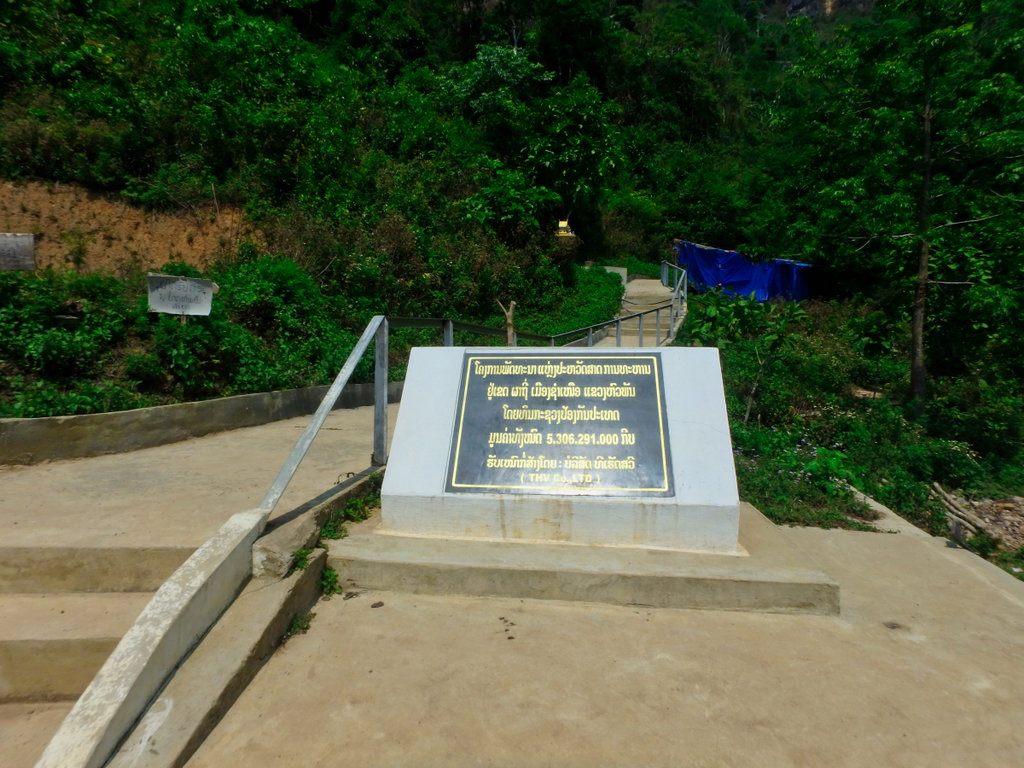
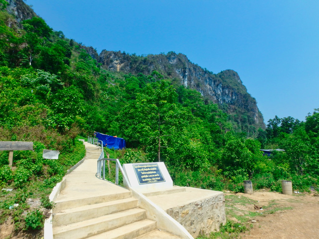
I carried my GPS in my pocket whilst making the trip, here is what I had waypointed.
After giving the guide a nice tip, it was time to make our way.
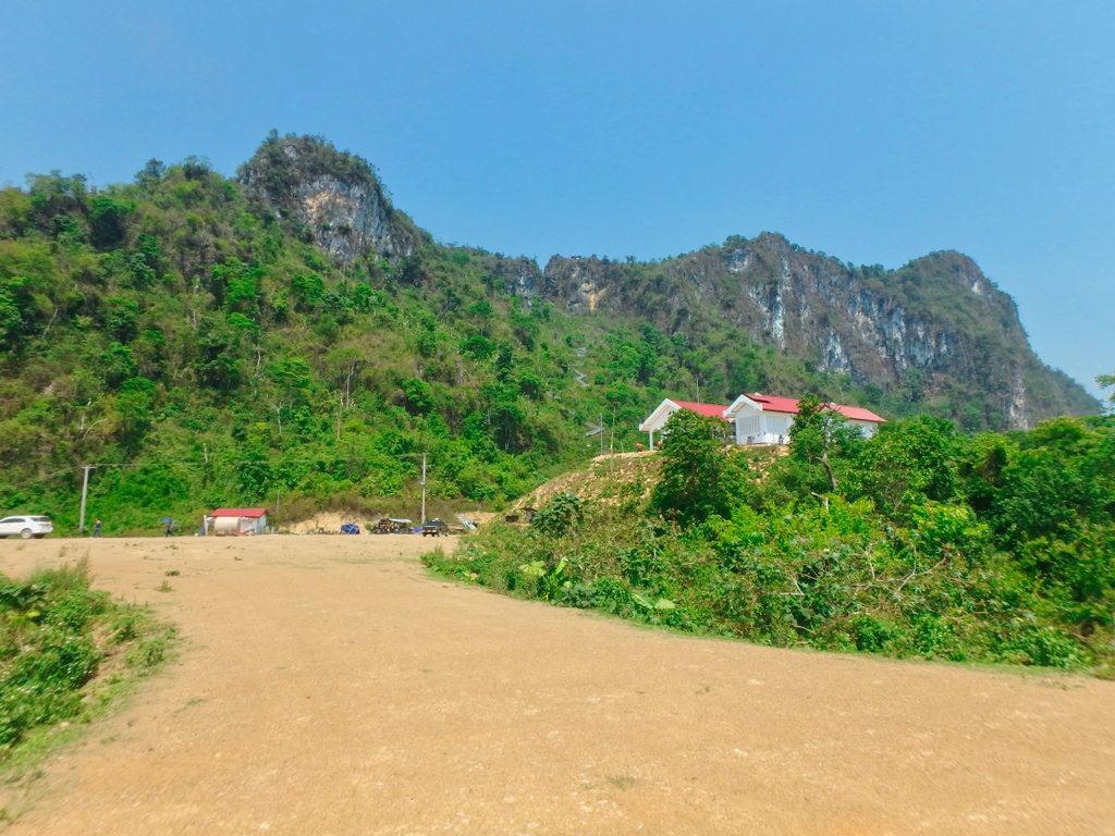
Back to the main village, to take in some liquid and recap on what we had seen.
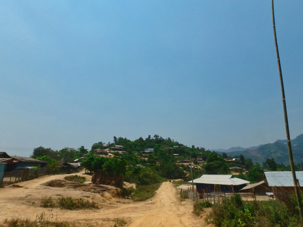
The road from here is still graded dirt of sorts, little progress has been made to pave this section.
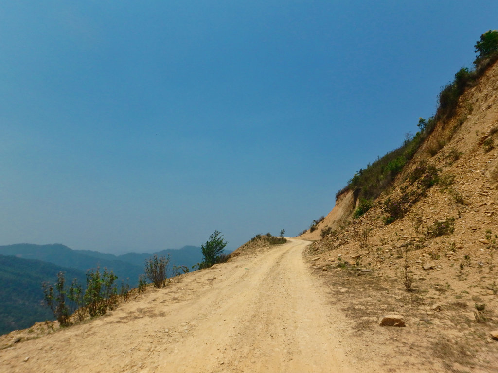
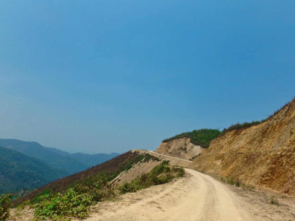
occasional road crew station with Backhoe to clear landslides.
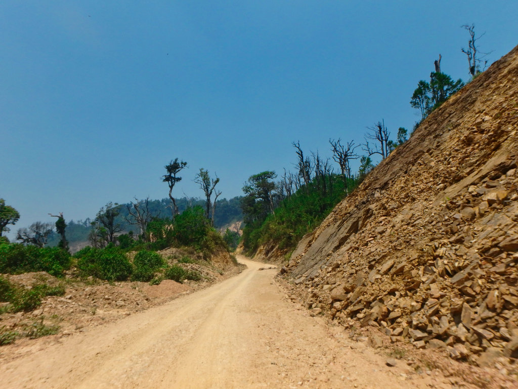
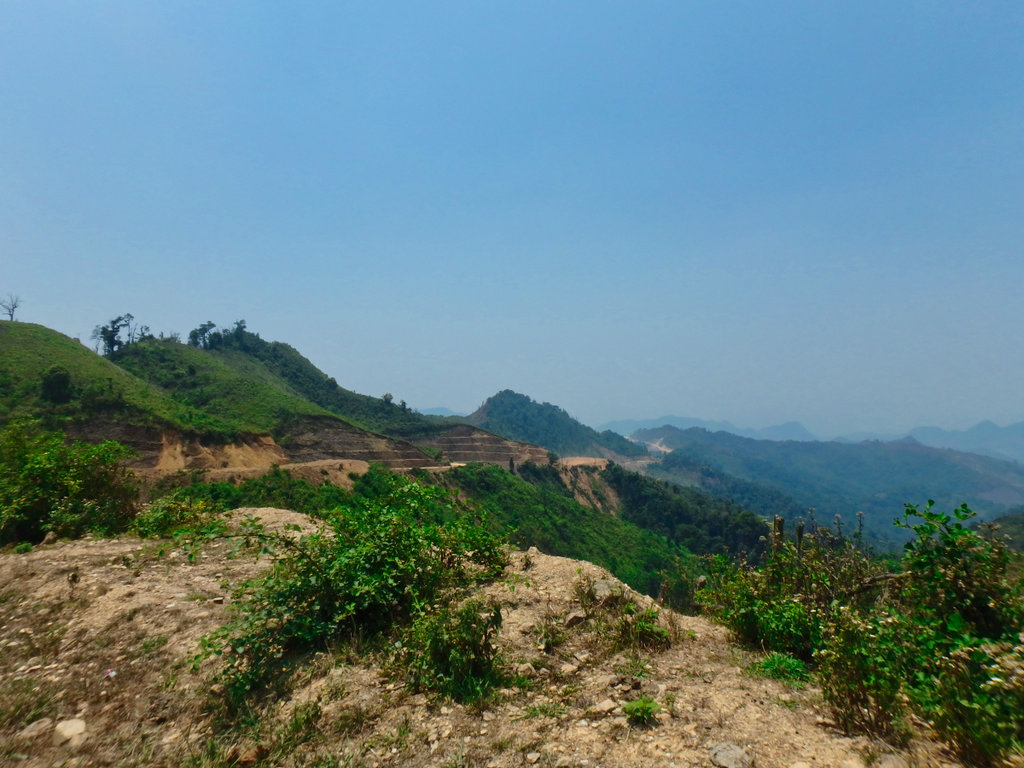
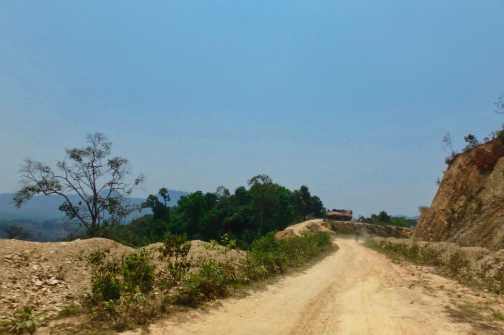
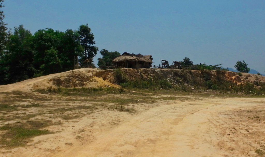
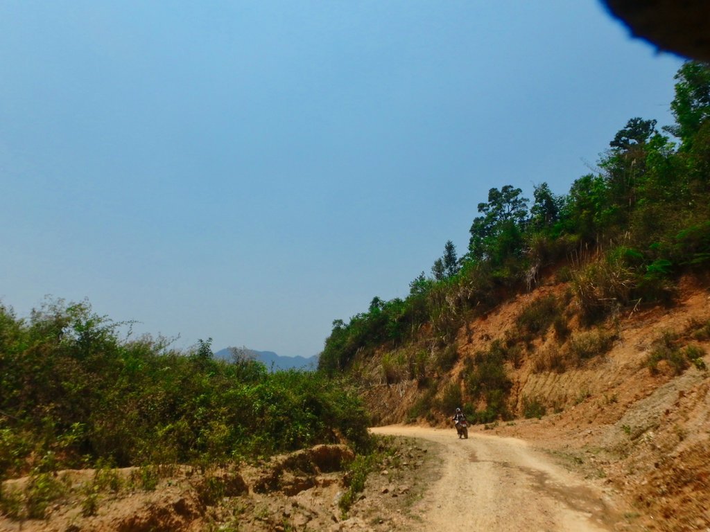
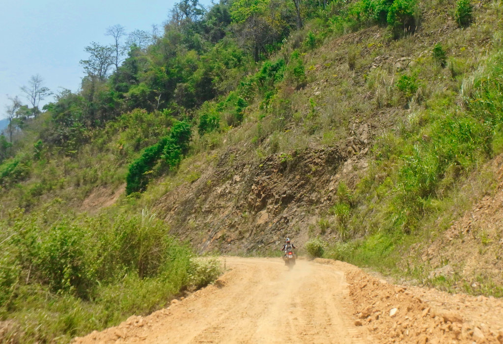
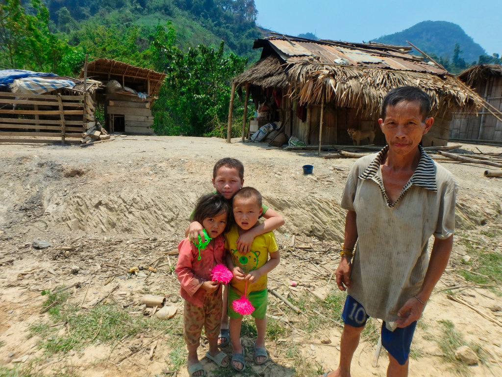
Small Hmong village I give the kid's some toys.
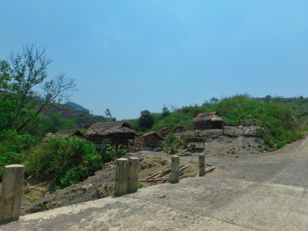
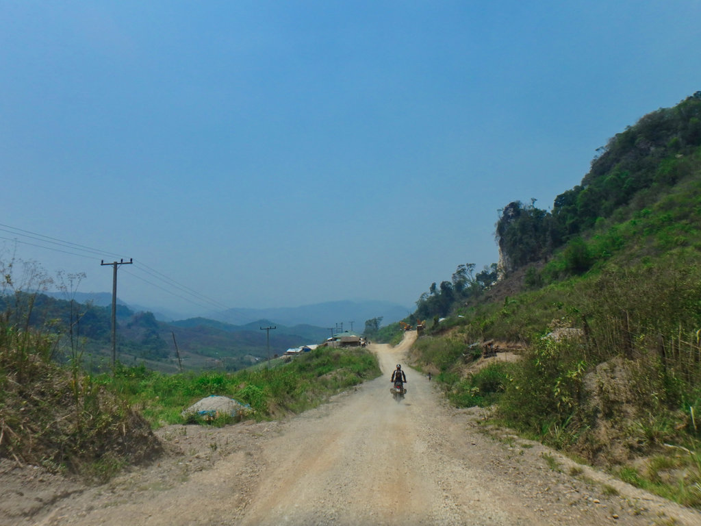
We make the turn at Xop Nuea and another drink stop.
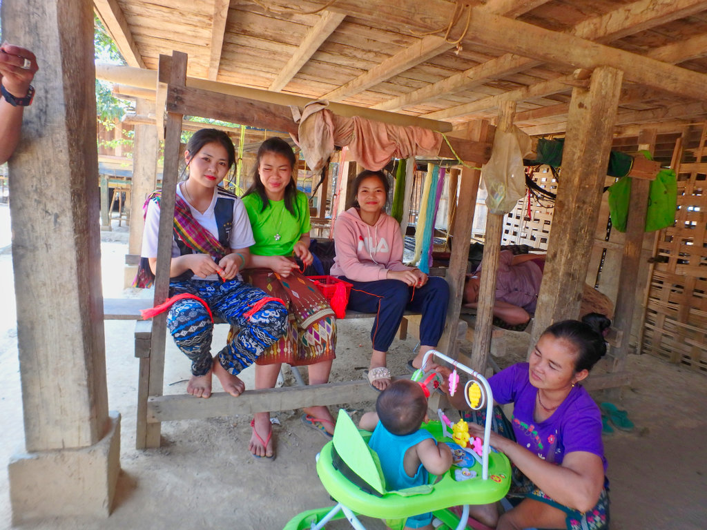
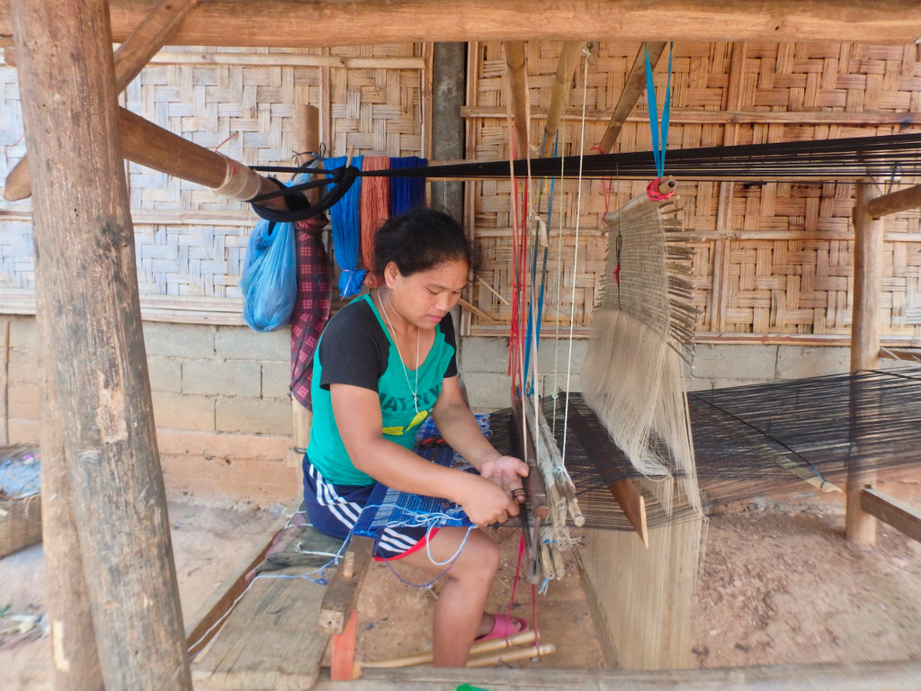
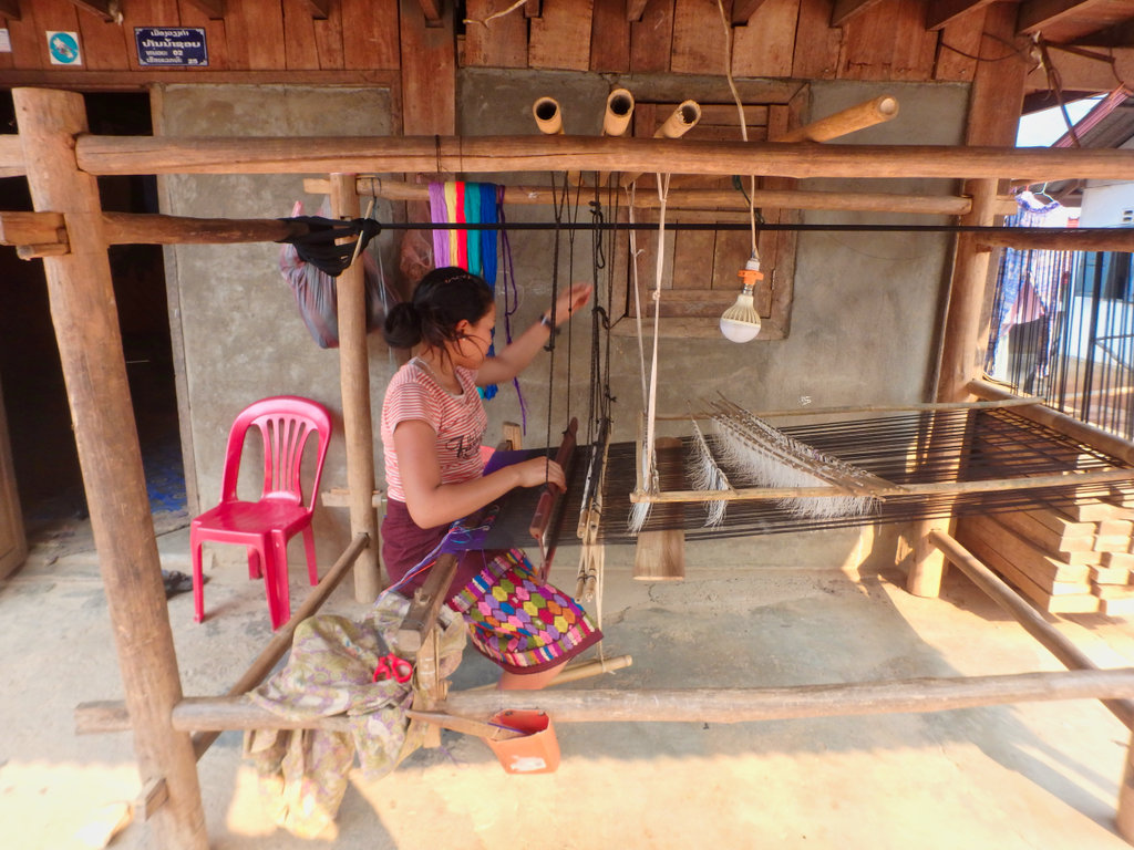
Ladies here weaving to supplement their earnings.
Reached Muang Hiam we stopped for lunch at the Tontavanh Restaurant N20.08404° E103.37006°
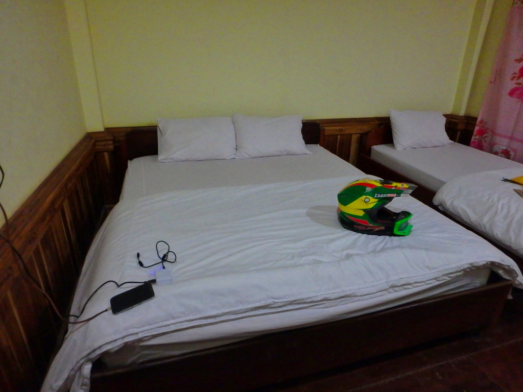
We decided to push on to reach Nong Kiew and checked into the Sunrise Bungalows on the river for the night.
N20.57040° E102.61707°
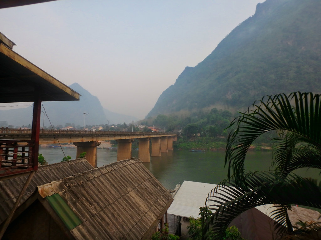
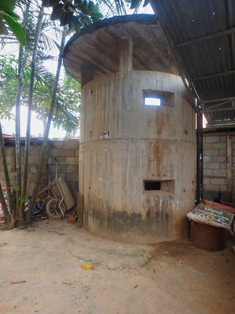
Pillbox guarding the Chinese bridge.
New slipway on the Nam Ou.
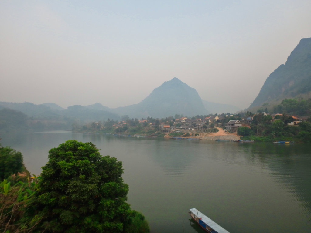
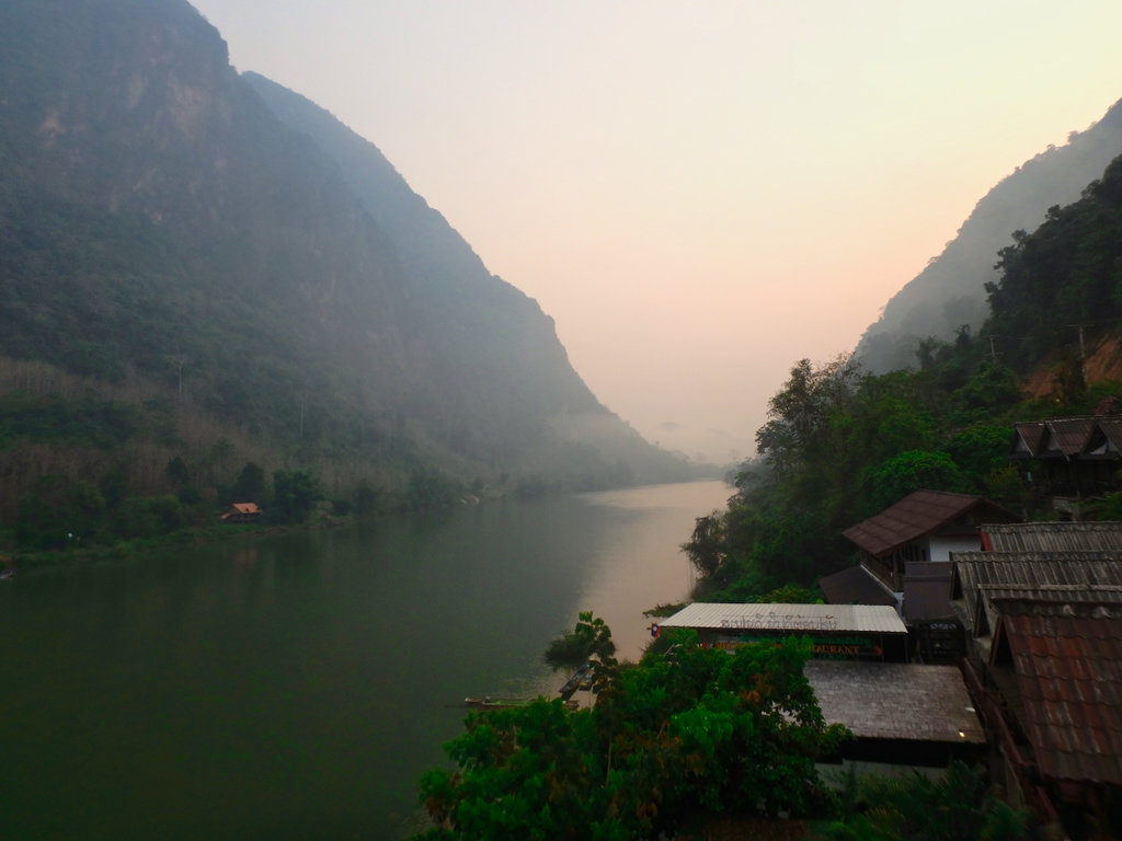
It was a long but rewarding day, we both agreed it was the highlight of the trip, in the morning back on the dirt heading north.

No comments:
Post a Comment